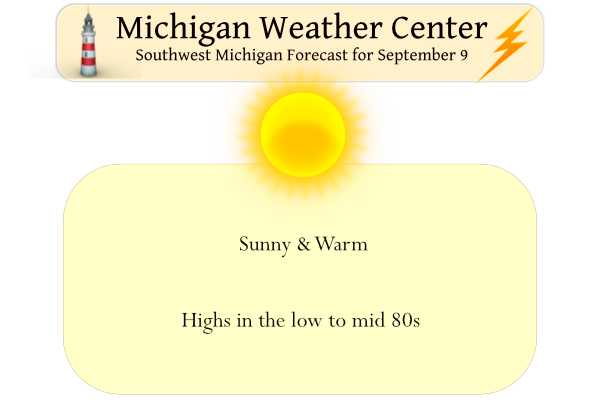
Weatherwise it does get much better than this. Enjoy today before the clouds move back in over the weekend and we string together a period of cloudy damp days which will extend into early next week. Yesterday’s high was 79.5° and the low was 53° with nearly 100% sunshine.
A couple more warm days can be expected with highs in the lower 80s today and Saturday. A dip toward cooler temperatures and off-and-on rain or thunderstorms will begin later Saturday or Sunday and continue into Tuesday, as a slow-moving low-pressure system lumbers through the area. Let’s hope we don’t have any severe weather during this period as we have already had two events in Otsego which killed the power and damaged trees and houses (with a few cars added to the mix).
Sunrise today is at 7:15 and sunset is at 8:03 pm.
Forecast Discussion
- Sunny and Warm Today -

Surface high pressure with its associated upper ridging will
maintain dry and sunny conditions today and into Saturday morning.
High temperatures in the 80s are expected as southerly winds yield
deep warm air and moisture advection. Dewpoints will also be on
the rise, especially Saturday, resulting in slightly warmer
overnight lows in the low 60s.

- Showers and Storms Early Next Week -

Clouds increase Saturday ahead of a upper low pressure system that
will arrive Sunday. South-southwest flow in advance of this system
will further increase moisture with PWATs into the 1.5-2 inch range.
As the upper wave cuts off from the main westerly flow, the surface
low will very slowly wobble east through Monday. Some bands of heavy
rain and storms are expected to develop, with the main axis setting
up Sunday afternoon and evening. The overall risk for flooding is
low, but not insignificant. Periods of heavy rain are possible, but
at this time the higher flood risk area appears to be further west
as the deformation zone becomes established on the northwest side
of the surface low and the dry slot presses into southwest lower
MI. WPC guidance has all of lower MI in a Marginal Risk for
Excessive rainfall, with the Slight Risk just to our west over
southeast WI.

- Cooler Next Week -

A few widely scattered lingering showers may be present Tuesday,
but most areas turn try as the early week system moves east.
Conditons will be noticeably cooler with highs back into the 70s.
Considerable cloudiness can be expected Sunday to Tuesday, with
perhaps some clouds beginning to break by Tuesday evening.

What’s wrong with this picture?
GR: +1.7
Lansing: +2.8
Detroit: +3.1
Absolutely nothing!
I’ll never forget 9 years ago today. I lived in Byron Center at the time. We picked up nearly 6” of rain in just 2 hours. It was a very localized event. My neighborhood street flooded in ways I’ve never seen it flood since we moved into the house in the late 90s. The back roads had flooding. Byron Center High School parking lot was underwater and the school hallways had standing water in them. I left my passenger side car window open overnight and didn’t realize it until nearly the end of the heavy rain. My passenger side floorboard… Read more »
It has been warm and dry so far this September. Temperatures have been very unform with the mean so far being 69.2 at both Grand Rapids and Lansing. At Holland the mean so far is 69.3 Muskegon has been warmer and their mean is 71.1. All locations are warmer than average so far this month. It has been mostly dry so far with no rain fall reported yet in Muskegon and Holland just 0.03″ at Grand Rapids so far Lansing is the wet spot with 0.57″ and even that is below average so far. That could change late this weekend… Read more »
The official H/L yesterday at Grand Rapids was 85/55. There was no rain fall and 92% of possible sunshine was reported. The overnight low in MBY and at GRR was 57. There is fog reported at GRR while here it is clear and 58 at the current time. For today the average H/L in now down to 77/56 The record high of 95 was reported in 1897 and the record low of 37 was in 1975.
Slim
I agree, MV. The weather as of late has been terrific. I like the lows in the 50s and then highs in the 80s. It’s good sleeping weather. No fog again here this morning. Just crystal clear skies.