The latest CPC guess for March is out which is guessing warmer than normal temperatures and normal precipitation. The end of meteorological winter will end with (you guessed it) warmer than normal temperatures. This week will feature several days in the upper 40s to the low 50s until another brief cooldown at the end of the week.
NWS Forecast
Weather History
1978: Record lows of 21 below zero at Lansing and 15 below at Grand Rapids contribute to this being the coldest February on record at Grand Rapids and the coldest of the 20th century at Lansing. The temperature never gets above freezing during the entire month at Lansing.
2016: Winds gusts to 70 mph in Grand Rapids and 66 mph in Jackson as a strong low-pressure center moved across the Great Lakes. Lower Michigan was on the warm side of the storm with record highs around 60 degrees.
On February 19, 1900, a snowstorm dropped 12.6 inches of snow at Detroit. This was the 7th heaviest snowstorm in Detroit history. It also started a remarkable run of snowstorms that included the 3rd and 4th heaviest snowstorms during the next two weeks in 1900.
1884: Severe thunderstorms spawned sixty tornadoes in the southeastern U.S., killing more than 420 people and causing three million dollars in damage. The tornado outbreak hit Georgia and the Carolinas the hardest.
1888: Severe thunderstorms over southern Illinois spawned a violent tornado in Jefferson County and devastated the southeast half of Mount Vernon. The tornado killed 24 people, injured 80 others, and destroyed or damaged 300 homes and 50 businesses. In addition, overturned wood stoves ignited many fires in the wreckage. The tornado currently stands as the 9th deadliest Illinois tornado on record and was one of the first disasters to which the American Red Cross responded.
Forecast Discussion
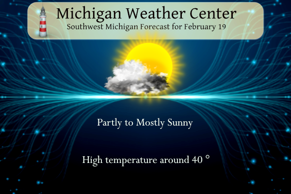
- Temperatures above normal through Thursday

Other than near-normal low temperatures this morning and Tue
morning, temperatures will rebound to above-normal as the
northern stream trough moves out and we return to a regime of
quasi-zonal split upper-level flow over the region. Highs will
flirt with 40 today then easily reach the 40s on Tue. 50s are
possible especially SE of Muskegon to Mt Pleasant Wed-Thu. 925
mb temperatures over 5 C expected Wed-Thu would be above the
90th percentile for the time of year (and indeed, 50 degree
temperatures happen in only about 10 percent of years on record
for Feb 21-22). There is good ensemble agreement in the
temperatures through Thu. Dew points above 32 degrees arriving
with a light breeze on Wed should more quickly soften and melt
whatever ground snow cover there may be.

Can`t rule out some patches of low-level clouds north-
northeast of Muskegon today, but otherwise there should be a
fair amount of sunshine even if filtered through cirrus. Similar
story for Tue with plenty of dry air in the mid-low levels.

- Chance of rain Wednesday night to Thursday

A southern stream shortwave trough and associated surface low
developing in the lee of the Colorado mountains will track
toward the Ohio valley or southern Great Lakes on Thu. Ahead of
it, isentropic ascent of warm and moist low-mid level air could
produce light rain Wed night. The more likely scenario for Thu
would be for the low to track far enough south to spare Michigan
from heavier rainfall amounts (around a half inch). Less than
20 percent of ensemble solutions bring the low far enough north
on Thu for Lower Michigan to receive this heavier rainfall.

- Briefly colder with light snow showers possible Friday night

A northern stream trough digs into Ontario late in the week,
and should deliver Michigan a glancing blow of polar air Fri-
Sat. The high temperature spread in the ensembles is still large
as it`s not fully settled how far south the trough digs and
whether the core of the coldest air flows through Michigan.
Highs in the 30s are most likely but there are less likely
scenarios of highs in the 20s or 40s. Lake-effect snow showers
are possible but they may be limited by dry air and a tendency
for low-level ridging. Good confidence in temperatures returning
to well above normal early next week.
Nice red sky sunset at this time.
Slim
We are exactly one month away from “official” spring! And 11 days to meteorological. And not much cold weather the rest of this month besides maybe Friday/Saturday
Great and we have about 6 weeks left of snow chances! Bring on some more snowstorms!
The official H/L yesterday at Grand Rapids was 33/17 there was no rain/snowfall. There was 2” of snow on the ground. It was yet another windy day with the highest gust of 39 MPH the sun was out 18% of the time. For today the average high low is 34/20 the record high of 62 was set in 2017 the record low of -15 was set in 1978. The most rainfall was 0.85” in 1939 the most snowfall of 5.0” fell in 1901. The most snow on the ground was 22” in 1936 there was 21” in 2014. Last year… Read more »
With clear skies and a calm wind it got down to 14 overnight here in MBY at the current time with clear skies it is 15.
Slim