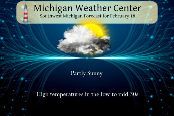
After another short cold snap things will look up once again temperature-wise in a continuance of our abnormal winter. Temperatures will warm to the low 50s by midweek with little if no precipitation in the outlook through Saturday.
NWS Forecast
Weather History
1926: A snowstorm drops 5 to 9 inches of snow across southern Lower Michigan. Lansing sets a record snow total for the day of 8.5 inches.
2014: Persistent cold weather and frequent snows during January and February result in a deep snow cover that persists through much of March. At Grand Rapids, the snow depth reaches 24 inches on this date, second only to the record of 25 inches set after the blizzard of late January 1978.
On February 18, 2019, an overachieving snowfall event occurred. A strong upper-level wave led to convective snow that resulted in a narrow swath of 5 to 7 inches of accumulation across the Ann Arbor to Utica corridor. Most other areas saw 1 to 4 inches of snow.
On February 18, 1976, the daytime temperature rose to 62 degrees in Detroit, which is 27 degrees above average.
1965: A massive avalanche kills 26 men at the Granduc Copper Mine in British Columbia on this day. Click HERE for more information from the History Channel.
1992: A thunderstorm spawned a powerful F4 tornado so far north for the time of the year in southern Van Wert County in Ohio. The tornado touched down just west of US Route 127 and traveled northeastward for about 3 miles. One house was completely leveled, and nine others experienced severe damage. Six people were injured.
Forecast Discussion
- Near normal temperatures and breezy with flurries Sunday

Gusts around 30 mph will be common today in what is still a
fairly tight pressure gradient in the wake of a low exiting the
northern Great Lakes. The upper-level trough associated with
this low will be positioned over east-central Ontario at mid-
day. This should help provide a little support for flurries
from interior central Michigan to the Lansing area, along with
just enough moisture contributed by Lake Michigan and convergent
low-level winds veering from southwest to northwest during the
day.

- Above normal temperatures Monday through Thursday

Uneventful weather pattern with above normal temperatures and
predominately dry conditions expected to hold through most of the
coming week. Typical of our El Nino winter, split jet stream pattern
aloft prevents any decent systems from impacting the area and the
cold air stays blocked well north of MI.

Will continue to carry a 20 to 30 percent chance of light rain on
Wednesday as a weak frontal boundary arrives, but latest guidance
has backed off even more and now only a few hundredths of QPF is
shown. Highs near 50 are expected each day Tuesday through Thursday,
with not much wind expected either.

- Colder with light snow showers late Friday/Saturday

Northern stream trough digs southward into the GrtLks Rgn toward the
end of the week, ushering in a colder air mass and a chance of light
snow showers. Timing and track of a potential clipper system is low
at this time as is the lake effect potential given uncertainty in
how much the Polar jet digs in. Either way, the colder air does not
stick around for very long as warm advection is already underway
again by next Sunday.

Some people can’t help themselves and constantly post cpc maps! WOW!
DDDDD…..DDDDDD……DDDDD Another BLOWTORCH Bullseye for Michigan!! This is your BLOWTORCH WARNING!! Get prepared now!
I’m not surprised. There are 50s in the forecast next week and the following week, as well.
Wow, that looks eerily similar to I believe 2012 when it was 80 or 90 degrees in March. We really don’t need that again.
Agreed. Was not good for the fruit crops.
Since we’re at the end of meteorological winter, let’s look forward. Check out this from Ryan Hall:
https://youtu.be/tcS12SsftMs?si=C4hPD4RWH1hrkGJB
Fun fact. In the video Ryan mentioned 1991. Well the El Nino of 1991/92 like this year was also a strong El Nino and the summer of 1992 was one of the coldest summers in our area. And in 1991 there was a major derecho in our area.
Slim
Mount Pinatubo erupted in 1991 – considered the largest eruption since Krakatoa in 1883. The USGS said it caused the global temperature to drop almost a full degree (0.9F) the following year. Take that and the El Niño and no wonder it was so cool in 1992.
A cold summer would be spectacular! Bring it on!
The official H/L yesterday at Grand Rapids was 27/18 there was a trace of snowfall and the day started with 2” on the ground. The highest wind speed was 49 MPH there was 22% of possible sunshine. For today the average H/L is 34/20 the record high of 59 was set in 2017 the record low of -10 was set in 1936 the most rainfall of 0.80” fell in 1976 the most snowfall of 7.0” fell in 1926 the most snow on the ground was 24” in 2014. Last year the H/L was 38/20 and there was 2” of snow… Read more »
Just another great winter is on tap! Incredible!