Yesterday Jeff Beck passed away. He was one of the original members of the Yardbirds which also featured Eric Clapton and Jimmy Page. He then formed the Jeff Beck Group with frontman Rod Stewart. I believe his last album was with Johnny Depp released last year. He was inducted into the Rock And Roll Hall of Fame as a member of The Yardbirds in 1992 and in 2009 as a solo artist. He was one of my favorite guitarists next to Jimmy Page and John MacLaughlin. RIP Jeff…
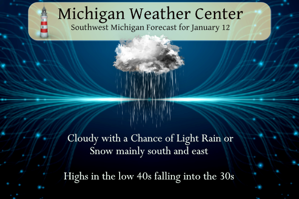
A system tracking through the Ohio Valley Region today may produce some light rain and snow south of Grand Rapids with the best chances in southeast Michigan, otherwise, dry conditions can be expected through the weekend.
Grand Rapids Forecast
7-Day Forecast 42.96°N 85.67°W 1 12 grrLansing Forecast
7-Day Forecast 42.75°N 84.53°W (1 12 lanKalamazoo
7-Day Forecast 42.24°N 85.65°W 1 12 kzoForecast Discussion
-- Fog early this morning --

Areas of dense fog affecting Kalamazoo to Ionia toward the east have
developed amid light winds in a weak trough. As the trough departs
to the east, winds will gradually increase from the west and shift
north. The increasing near-surface shear and cold air advection
should enhance mixing just enough to decrease the prevalence of
quarter-mile visibility as the morning goes on. Will monitor trends
but it`s possible the dense fog advisory could be trimmed before 10
AM.

-- Lesser precip chances today into tonight --

The southeastward shift of the precip associated with the Ohio River
valley low for this afternoon has continued its trend, and the
likely PoPs have moved southeast of Jackson. The upper level
synoptic trough will amplify over the region with phasing of the
northern and southern streams tonight, while relatively cold 850 mb
air (-10 C) advects through Friday morning. Lake effect showers will
organize into bands in the north flow over the middle of Lake
Michigan tonight into Friday morning and should generally not affect
our area other than some sporadic light snow showers over land.

-- Clearing possible late Friday and cold overnight --

The influence of the synoptic trough will quickly be replaced by an
amplified ridge leaning in, with rising 500 mb heights expected
Friday afternoon through Saturday. Crashing inversion heights and
drier air flowing in from the north should erode cloud cover from
north to south in the lower peninsula Friday afternoon (but the
extent to which it clears out prior to sunset is questionable).
However this clearing may allow for some sunshine on Saturday. Clear
skies and relaxing winds Friday night should also allow for "chilly"
low temperatures... perhaps dropping below normal for the first time
this month?

-- Return to mild temperatures early next week --

Warmer-than-normal air will wash over the area Sunday through
Tuesday, with good ensemble support for high temperatures in the
40s. Rain associated with a Colorado low is likely late Monday into
Tuesday. Another low poised to develop and track through our region
on Thursday may bring mixed precipitation challenges.
I hope Lisa Marie Presley is in the arms of her Dad tonight…
+1
Approximately 24 TRILLION gallons of water has fell on California in the past two weeks. It is difficult to comprehend that volume of water.
Hey Kirkwood, here is some reality for you!!


Why are you obsessed with Kirkwood and constantly posting the CPC on here? Get a grip!
Get this Mookie, the head wishcaster Kirkwood just claimed that it’s gonna be cold from the beginning of February thru April!! LOLLOLOLOLLL!!! This is the same guy who said it was going to be warm for a couple days at the end of December and then back to the deep freeze for January!! He needs to just move to Siberia, plenty of cold and snow there!!
GR has seen 68.2 inches of snow so far this winter and we have 3 months of snow chances left! Wow, just wow!
It’s been one of the worst winters for winter activities that I can recall
Yup, I am pretty disappointed. I love winter outdoors. This year lakes are open water, ground is bare and muddy (not even frozen), and very little days had snow on the ground.
Chicago has only seen 4.5″ of snow all winter. Detroit is at 7.”
Probably the most significant stat of this winter is that I have only needed to wash my vehicle once.
Looks like it was a bit warmer closer to the lake yesterday. Holland hit 52 and Muskegon hit 50. Wouldn’t it be something if this long and extended stretch kept going through February as well!
That’s usually what happens historically. Warm Januarys mean warm Februarys. But we will see.
I was thinking it would be awesome just to get through the coldest month, January, snowless and mild! It would be heaven on earth if this kept going right on through February!
Wow 42-46 degrees Sunday through Wednesday! Two days ago, WOOD was in the 20’s for a high on Tuesday LOL
Oh yeah, Kirkwood keeps wishcasting for those colder temps!
While we do not know how the rest of January will turn out, the first 11 days of this January have been warmer than the warmest top 10 Januarys. The top are 1932,1933,2006,1990,1906,2020,1934,1921,1989 and 2002.
Slim
It has been a very odd January, and this out of the norm warmth will continue, apparently:
https://www.mlive.com/weather/2023/01/bizarre-january-warm-up-coming-to-michigan-great-lakes-region.html
Good morning! Just like a broken record this mild January continues. The official H/L at Grand Rapids yesterday was 47/31. To put that in perspective that 47 was the 7th warmest high for any January 11th and the low of 31 was the 11th warmest low for the date. Yesterday there was a trace of reported rain fall and there was no snow fall. There was no snow on the ground and there was 24% of possible sunshine. Temperatures were in the low 40’s for much of the overnight but have now fallen to 39 and that is the low… Read more »
RIP Jeff Beck.
Slim
+1