We continue our sunny dry pattern this week and right on through the weekend. My sprinklers have been going and we water the flower gardens every other day. We may be on board for one of the driest Mays on record. We have had 1.15 inches of rain this month in Otsego. .14 of an inch has fallen in the past two weeks.
U.S.A and Global Events for May 22nd:
1876: Denver, Colorado was drenched with 6.50 inches of rain in 24 hours, an all-time record for that location.
1986: A devastating hailstorm hit the Sichuan Province of China. Reports indicate that up to 100 people were killed, 35,000 homes destroyed and entire crops devastated.
2011: On this day, one of the most devastating tornadoes in the nation’s history directly killed 158 people and injured over 1,000 in Joplin, Missouri. The Joplin EF5 tornado was the first single tornado to result in over 100 fatalities since the June 8, 1953, Flint, Michigan tornado. Click HERE for more information from the NWS Office in Springfield, Missouri.
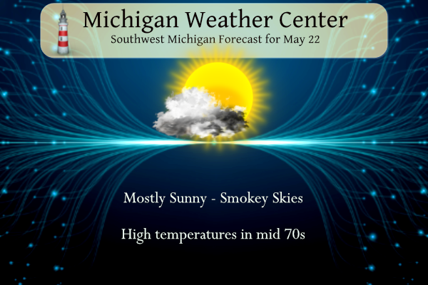
Grand Rapids Forecast
522grrForecast Discussion
Two very low chances for rain this week, otherwise very quiet
weather to continue into the weekend Slight chance POPS for the
northeast forecast area continues for this afternoon but soundings
show that moisture is quite limited. There is also limited
instability, so any rain should be light.

The other chance for rain would be along the strong cold front on
Wednesday morning. The moisture is deeper, but the front comes
through during the early morning, when instability is at the
diurnal low. We do not currently have POPS during this time but
may add them based on future model trends.

Canadian high pressure brings a cold Thursday morning and frost
and freezing temperatures might be an issue across the northern
forecast area. Temperatures moderate by the end of the week.
Check out these temps in Phoenix, AZ! Wow!!! What a scorcher!
https://forecast.weather.gov/MapClick.php?lat=33.4483&lon=-112.0758#.ZGwaKuQpAWM
Check out these MI low temps this week! Incredible!
https://forecast.weather.gov/MapClick.php?lat=46.6273&lon=-85.0374#.ZGwK5i0pDi0
Check out those low temps! Wow!
https://forecast.weather.gov/MapClick.php?lat=43.221826814157225&lon=-85.54145840268234&site=all&smap=1#.ZGwJ2S0pDi1
Tons of Temps in the 80’s!! No 30’s in sight!!
I’m pretty amazed that the ENTIRE 10 day outlook on my iPhone shows pure sunshine. That has never happened before from my memory
Highs in the 80’s!!!
Temps in the 80’s!!
https://weather.com/weather/tenday/l/b523690bfd952b86fef3627c919dd9855281a8da16b83c10bdd381c64ae12cbc
Ryan Hall put out a really good video three days ago and already has 2M+ views. Pretty much everything you wanted to know about El Nino in just eight minutes:
https://www.youtube.com/watch?v=j1pE4DJqRWw
Another warm summer and another warm winter? Sign me up!
I saw that watched most of it… But need to finish.
Good chance we see more 80’s in Michigan today and tomorrow!
There is also a good chance that much of Michigan will see 30’s on Thursday morning.
Slim
Parts of MI will be down into the low to mid 30’s! Now that is COLD for late May! Incredible!
WOOD has 41 degrees as the low
Looks like there could be a couple of nights in the 30s this week. I might hold off on planting until Memorial Day.
I planted some tomatoes. Even with that cold morning with the frost advisory they are growing very well.
I also have my tomatoes planted and while I will keep a eye on the temperatures late Wednesday. Most areas should be OK but some of the colder areas may have to cover.
Slim
No heat waves in sight and lows in the 40’s and 50’s end of May priceless!! Temperatures for the Ludington area this coming weekend mid 60’s it willl feel like Fall there beautiful bon fire weather…INDY
Lows in the 30’s!!!!!!
Temps in the 30’s!!!
We are still above average temps for May with a warmup upcoming! I love it!
*Lansing location – I no longer rely on GR’s averages due to faulty reporting issues
With 21 days of May in the record books in Lower Michigan only Muskegon, Kalamazoo are above average. While Grand Rapids, Holland, Detroit, Flint, Saginaw and Alpena are all below average. Of course if “we” lived in the UP both Sault Ste Marie and Marquette are above average.
Slim
Thanks for the Facts! Rock on!
Looking ahead today and tomorrow look to be on the mild side then a mid-week cool down. There once again Is a chance of frost on Thursday morning. At this time the weekend looks to be rather pleasant. The chances of rain look to be very slim. As MV stated this could end up being one of the driest May’s in a long time.
Slim
What, more frost? How is that possible with all the warm weather hype?
Yesterday was a rather pleasant day the official H/L was 76/42 there was no rain fall and 87% of possible sunshine. There were 0 Cooling Degree Days and 6 Heating Degree Days. The overnight low here in MBY was 46 and the current reading is 48 with cloudy skies. For today the average H/L is 72/51 the record high of 91 was set in 1925 and the record low of 34 was set in 1917. The record rain fall amount of 1.10” fell in 1917.
Slim
The cool pattern continues to rock! Lows in the 30’s this week and some days it won’t even hit 70 degrees! Incredible!
Happy Monday! Back to the grind, for many of us. The boring, yet great weather continues. This may be the most watering I have done during the month of May. Hey, there is actually fog out back on the golf course. That’s something different.
Have a great start to the work week my friends. And remember the daily goal – you gotta make someone smile. 😀