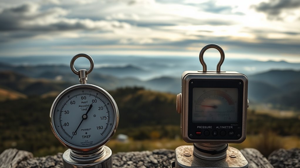
What Causes Variations in Altimeter Settings Between Weather Reporting Points?
You’ll find that altimeter settings vary between weather reporting points mainly due to differences in terrain elevation, temperature changes, and local weather systems.
Unequal surface heating creates pressure differences, while shifting high- and low-pressure areas further impact readings.
Temperature gradients and surface heating also cause regional pressure shifts, affecting altimeter calibration.
It’s important to note that the Coriolis force doesn’t affect these settings since it only changes wind direction.
Understanding these factors helps you grasp why altimeter variations happen and how they impact aviation safety.
By recognizing the role of terrain and weather, pilots can make informed decisions for a safer flying experience.
Unequal Heating of the Earth’s Surface and Its Impact
Because the Earth’s surface heats unevenly, you’ll notice temperature differences that cause shifts in atmospheric pressure from place to place.
This unequal heating leads to temperature variations, with some areas warming faster than others.
When the surface heats more, the air above expands and creates lower atmospheric pressure locally.
These pressure changes aren’t uniform; they form gradients that influence altimeter settings at weather stations.
For example, urban areas often heat more quickly than nearby rural zones, causing distinct pressure differences even over short distances.
These temperature-induced atmospheric pressure shifts directly impact how altimeters are calibrated to measure altitude accurately.
Understanding how unequal heating affects atmospheric pressure helps you grasp why altimeter readings vary between weather reporting points.
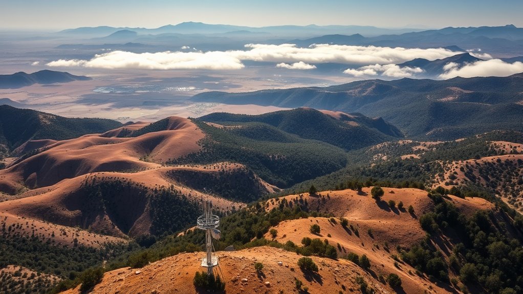
Influence of Terrain Elevation on Altimeter Settings
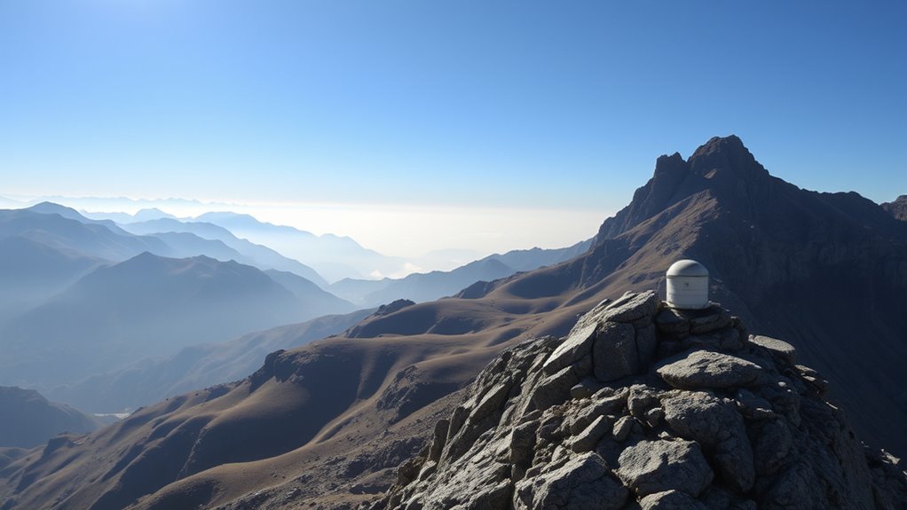
When you move to higher terrain, you’ll notice atmospheric pressure readings drop. This change directly affects altimeter settings at weather stations.
Terrain elevation plays a vital role here because higher elevations experience lower atmospheric pressure compared to valleys or flat areas.
As a result, weather reporting points located on mountains or elevated regions record different pressure levels than those at lower altitudes.
To maintain accurate altitude measurements, altimeter settings are adjusted to account for these elevation differences.
Without this adjustment, pilots and meteorologists would face inaccuracies in altitude readings.
Since terrain elevation directly impacts the pressure level at reporting stations, it becomes the primary factor causing regional variations in altimeter settings.
Understanding this influence helps you grasp why altimeter settings differ across diverse landscapes.
Role of Atmospheric Pressure Differences in Altimeter Variation
You’ll notice that atmospheric pressure differences play a key role in how you calibrate your altimeter.
Factors like terrain elevation and shifting weather systems cause these pressure variations, which directly affect your altitude readings.
Understanding these influences helps you adjust your altimeter accurately for safer navigation.
Pressure Variation Factors
Although atmospheric pressure differences may seem subtle, they play a crucial role in how your altimeter reads altitude.
Terrain elevation directly affects atmospheric pressure—higher elevations have lower pressure, causing your altimeter to adjust accordingly.
Weather systems like high- and low-pressure areas temporarily shift local pressure, influencing your altimeter’s accuracy.
Unequal surface heating also creates pressure disparities across regions, adding complexity to altimeter variations.
| Factor | Effect on Pressure | Impact on Altimeter |
|---|---|---|
| Terrain Elevation | Lower pressure at higher altitudes | Adjusts altitude reading |
| Weather Systems | Fluctuating pressure zones | Causes temporary variation |
| Surface Heating | Creates pressure differences | Alters local pressure |
Understanding these factors helps you anticipate altimeter setting changes between weather points.
Altimeter Calibration Impact
Atmospheric pressure differences between locations directly affect how altimeters are calibrated and used.
When you rely on an altimeter, it’s calibrated based on the local atmospheric pressure adjusted to mean sea level.
Because pressure systems vary geographically and over time, altimeter calibration must reflect these changes to guarantee accurate altitude readings.
If the pressure at two weather reporting points differs, the altimeter settings will vary accordingly.
You’ll find that high or low-pressure areas cause distinct calibration values, which pilots and meteorologists use to maintain safety and precision.
Without adjusting the altimeter to local pressure, altitude measurements could be misleading.
Effects of Temperature Gradients on Local Pressure Readings
You’ll notice that temperature gradients play a big role in causing localized pressure variations.
These differences can directly impact your altimeter readings, especially when moving between warmer and cooler areas.
Understanding how these changes affect pressure helps you adjust altimeters to maintain accuracy.
Temperature Gradient Influence
When temperature changes rapidly over a short distance, it causes noticeable shifts in local atmospheric pressure that you can detect in weather reports.
This temperature gradient leads to pressure differences that directly influence altimeter variations between weather reporting points. You’ll find that:
- Steeper temperature gradients create distinct high- or low-pressure zones, altering local pressure readings.
- Vertical temperature gradients affect pressure distribution with altitude, impacting measurements at different stations.
- Changes in air density from temperature gradients affect altimeter accuracy and calibration.
Understanding how these temperature gradients work helps you anticipate why altimeter settings vary even between nearby locations, especially near weather fronts where temperature shifts are most pronounced.
This explains why temperature gradients play a vital role in causing altimeter variations.
Localized Pressure Variations
Although temperature gradients occur over short distances, they create localized pressure variations that directly impact altimeter settings.
When surface temperatures rise unevenly, you’ll notice pressure differences develop between nearby areas. Warmer regions usually show lower atmospheric pressure, while cooler spots maintain higher pressure.
This causes discrepancies in altimeter readings.
This localization of pressure changes is especially clear near urban heat islands or places with uneven heating. Sharp temperature shifts across small distances amplify these pressure variations, which meteorologists rely on to calibrate altimeters accurately.
Understanding how temperature influences local pressure helps you grasp why neighboring weather reporting points often report different altimeter settings, even if they’re close geographically.
Altimeter Reading Impact
Because temperature gradients cause air density to vary, they directly affect the atmospheric pressure readings that altimeters rely on.
When you check altimeter readings, you’ll notice that temperature gradients create localized pressure differences, leading to variations in altitude measurements.
Warmer areas typically show lower pressure, while cooler regions have higher pressure, impacting how altimeters calibrate.
Additionally, these temperature-driven changes can form pressure systems that further alter readings between weather stations.
Keep in mind:
- Temperature gradients change air density, influencing local pressure.
- Variations in pressure systems affect altimeter adjustments.
- Terrain elevation still plays a primary role in overall altimeter settings.
Understanding these effects helps you interpret altimeter readings accurately in varying temperature and pressure conditions.
How Weather Systems Modify Altimeter Settings
Since weather systems constantly shift atmospheric pressure, they directly influence the altimeter settings you rely on for accurate altitude readings.
As high-pressure and low-pressure areas move through, they cause pressure variations that alter the baseline atmospheric pressure at different weather reporting points.
When a weather front or cyclone approaches or departs, local pressure can rise or fall rapidly. This forces adjustments in altimeter settings to maintain accuracy.
Even smaller weather phenomena like temperature inversions or storms can create localized pressure differences that impact your altimeter calibration.
Understanding how these weather systems modify pressure helps you anticipate and correct for these variations.
This ensures your altitude readings remain reliable despite constantly changing atmospheric conditions.
Relationship Between Humidity, Dew Point, and Pressure
While humidity and dew point play important roles in weather conditions, they don’t substantially affect the atmospheric pressure readings used for altimeter settings.
You should know that atmospheric pressure measurements at reporting stations remain mostly stable despite changes in moisture.
Here’s why:
Dew point marks the temperature where air saturates, leading to condensation, but it doesn’t alter atmospheric pressure directly.
Variations in humidity indicate moisture levels but have minimal impact on the pressure altimeters rely on.
Since humidity and dew point only slightly influence air density, they aren’t major contributors to altimeter setting differences.
Understanding this helps you focus on other factors causing pressure variations without overestimating humidity or dew point effects on altimeter calibration.
Impact of Surface Heating on Regional Altimeter Calibration
How does surface heating influence altimeter calibration across different regions?
Surface heating creates temperature gradients that affect local atmospheric pressure, leading to subtle pressure differences between weather reporting points.
When land heats unevenly compared to nearby water, these pressure differences become more pronounced. This requires adjustments in altimeter calibration to maintain accuracy.
Although elevation has a stronger effect on pressure, surface heating still causes small fluctuations in atmospheric pressure readings at stations.
These variations indirectly influence altimeter calibration by altering local pressure patterns you rely on for accurate altitude measurements.
Understanding how surface heating modifies pressure helps you grasp why altimeter settings vary regionally.
This ensures you interpret readings correctly and adjust for local environmental factors during flight planning or weather analysis.
Why Coriolis Force Does Not Affect Altimeter Readings
You might wonder how the Coriolis force influences altimeter readings, but it mainly affects wind patterns, not pressure measurements.
Since altimeters rely on local air pressure, they remain independent of the Coriolis effect.
Understanding this helps clarify why altitude readings stay accurate despite large-scale atmospheric rotations.
Coriolis Force Overview
Because the Coriolis force influences the direction of moving air masses rather than local atmospheric pressure, it doesn’t affect your altimeter readings.
This force, caused by Earth’s rotation, deflects winds right in the Northern Hemisphere and left in the Southern but doesn’t change the pressure at specific locations.
Altimeter settings depend mainly on:
- Pressure differences between weather reporting points
- Surface elevation variations
- Weather systems influencing local atmospheric pressure
Since the Coriolis force acts on wind direction and not on atmospheric pressure itself, it doesn’t cause the pressure changes that affect altimeter settings.
You’ll notice that altimeter variations arise from terrain and weather conditions, not from the Coriolis effect.
Understanding this helps you interpret altimeter readings accurately without confusing wind patterns for pressure changes.
Altimeter Pressure Independence
Although the Coriolis force shapes wind patterns by deflecting moving air masses, it doesn’t influence the atmospheric pressure that your altimeter relies on.
The Coriolis effect changes wind direction and speed but doesn’t alter the actual pressure values your altimeter measures.
Instead, variations in altimeter readings stem from pressure differences caused by factors like terrain elevation and surface heating.
For example, higher terrain elevation means lower atmospheric pressure, while localized surface heating can create pressure gradients.
Since altimeters depend solely on pressure, not wind direction or velocity, the Coriolis force has no direct impact on their readings.
Understanding this separation helps you see why altimeter settings vary between weather reporting points without any influence from the Coriolis force.
Altimeter Adjustments for Accurate Altitude Measurement
When pilots adjust their altimeters, they rely on local atmospheric pressure readings to guarantee accurate altitude measurements.
Altimeter settings must reflect the current weather conditions and elevation differences between reporting points to assure precision.
You’ll find that altimeter calibration hinges on three main factors:
- Elevation differences between weather stations, which affect pressure readings.
- Local weather conditions, including high or low-pressure systems altering atmospheric pressure.
- Setting the altimeter to the reported value at departure or arrival airports to maintain consistent altitude references.
Practical Examples of Altimeter Setting Variations Across Locations
Since local atmospheric pressure varies with terrain and weather systems, you’ll notice significant differences in altimeter settings even between nearby airports.
For instance, a mountain airport at 5,000 feet elevation usually reports lower altimeter settings compared to a sea-level airport.
Weather reporting points reflect these variations clearly, especially during changing weather conditions like cold front passages.
As high- or low-pressure systems move through a region, altimeter settings at different locations can shift rapidly and differ from one another.
When you’re flying, you adjust your altimeter to the local station’s reported setting to guarantee accurate altitude readings.
Understanding these practical examples helps you appreciate why altimeter setting variations occur and why it’s vital to use the correct data from weather reporting points for safe navigation.
Frequently Asked Questions
What Causes Variations in Settings Between Weather Reporting Points?
You experience variations in altimeter settings because atmospheric pressure changes with terrain elevation and weather systems.
These differences force you to adjust altimeter readings between reporting points to maintain accurate altitude measurements.
What Affects Altimeter Settings?
You’ll find altimeter settings mainly affected by local atmospheric pressure changes, which depend on terrain elevation and weather systems.
As pressure shifts with altitude and weather, you need to adjust your altimeter accordingly for accurate readings.
How Do Variations in Temperature Affect the Altimeter Pressure Levels Are Raised on Warm Days and the Indicated Altitude Is Lower Than True Altitude?
Like a funhouse mirror, warm temperatures raise pressure levels, causing your altimeter to show a lower altitude than true.
You need to adjust settings carefully to avoid flying closer to the ground than you think.
What Indication Errors Are Found in Altimeters?
You’ll find altimeter errors from instrument miscalibration, mechanical failures like stuck capsules, unadjusted pressure changes, and temperature effects causing expansion or contraction.
Regular calibration against known pressure settings helps you avoid these inaccuracies.
Conclusion
You’ll notice that altimeter adjustments always arise from atmospheric antics like uneven Earth heating, terrain tweaks, and temperature twists.
These tricky tweaks transform local pressure, prompting your altimeter to shift settings between spots.
While weather whims work their magic, remember the Coriolis force can’t cause these changes.
By carefully calibrating altimeters, you can confidently count on correct altitude readings anywhere.
So, stay sharp and savvy with shifting settings to soar safely and smoothly.
In conclusion, variations in altimeter settings are influenced by local atmospheric conditions, such as temperature changes and pressure variations. These factors can lead to different altimeter readings at different locations.
Understanding these adjustments is crucial for pilots to ensure accurate altitude measurements. Always remember, while certain forces like Coriolis may not play a role, the key lies in staying informed and adapting to weather changes for safe flying.