How to Read Weather Glass in 7 Simple Steps
To read a weather glass effectively, it’s essential to understand its components: water, alcohol, and crystals that react to changes in pressure and temperature.
First, place the weather glass on a stable surface, ensuring it’s away from any heat sources or drafts.
Next, watch the water level closely. When it rises, that typically indicates fair weather, while a falling water level suggests that storms are on the horizon.
Pay attention to how quickly the water moves. Rapid changes can hint at sudden shifts in the weather.
Additionally, observe the shapes of the crystals for more detailed insights.
Regularly tracking the readings will help you spot patterns over time.
Keep following these tips, and you’ll uncover more ways to make accurate weather forecasts!
Understanding the Components of a Weather Glass

Although it may look simple, a weather glass contains a carefully balanced mixture of water, alcohol, and chemicals like ammonium chloride, potassium nitrate, and camphor.
This blend helps the liquid respond to changes in temperature and pressure, indirectly measuring atmospheric pressure shifts.
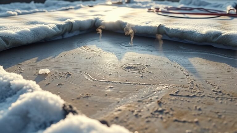
When pressure drops, crystals form in different patterns—star shapes, feathers, or clumps—signaling upcoming rain, fog, or cold weather.
Clear liquid usually means stable conditions, while cloudy or milky appearances hint at rising humidity and potential precipitation.
By understanding these components, you’ll better interpret how the weather glass reacts to atmospheric pressure changes.
This way, you can predict weather trends more accurately without relying on complicated instruments.
Preparing Your Weather Glass for Accurate Reading

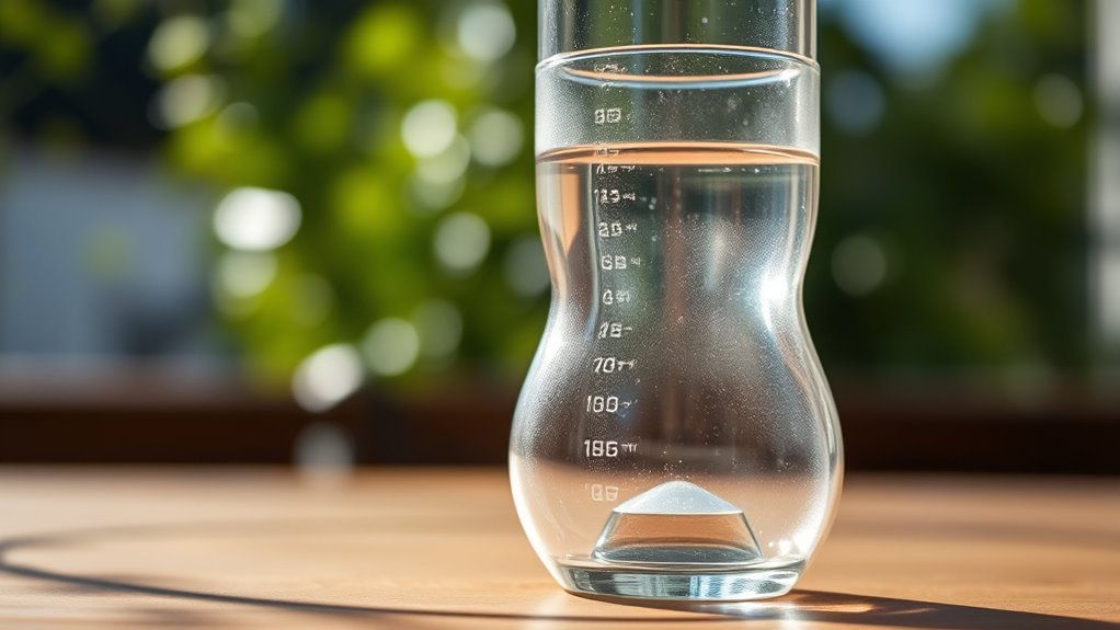
To get accurate readings, you’ll want to fill your weather glass halfway with water and add food coloring for better visibility.
Place it in a stable, sunlit spot away from direct heat or drafts to keep conditions steady.
Make sure to keep the glass level and avoid moving it after filling to maintain clear crystal formation.
Proper Filling Technique
When you fill your weather glass properly, you guarantee accurate and reliable readings.
Mastering the proper filling technique ensures your weather glass functions as intended.
Follow these steps:
- Fill the weather glass halfway with warm water mixed with food coloring to improve visibility.
- Submerge the glass carefully in cold water, keeping the spout covered to avoid trapping air bubbles.
- Alternate between warm and cold water immersion until the water level stabilizes about an inch above the spout.
- Confirm no air bubbles remain inside the glass, as they can distort readings.
Ideal Placement Location
Since temperature changes can quickly affect your weather glass readings, you’ll want to place it somewhere with stable, indirect sunlight.
Choosing the right location is vital to maintain a consistent environment. Position your weather glass on a flat, level surface or hang it at eye level for easy observation.
Avoid placing it near heat sources like radiators, stoves, or direct sunlight, as these can cause false or inconsistent results.
Also, keep it away from drafts, open windows, or air conditioning vents, which can create airflow and impact the water level.
Ideally, set your weather glass indoors or in a sheltered spot like a covered porch to protect it from sudden environmental changes.
This careful placement ensures your readings remain accurate and reliable.
Observing Water Level Changes and What They Mean

Although water levels in a weather glass may change subtly, you can learn a lot about upcoming weather by paying close attention.
Subtle changes in a weather glass’s water level reveal valuable clues about upcoming weather.
The water level shifts directly reflect pressure changes in the atmosphere, giving you clues about what’s ahead. Here’s what to watch for:
- Rising water level signals increasing atmospheric pressure, often meaning fair and stable weather.
- Falling water level points to decreasing pressure, which could indicate an approaching storm or poor weather.
- Rapid drops in water level warn you of severe weather changes, such as thunderstorms or heavy rain.
- Steady water levels over days suggest consistent weather conditions without major shifts.
Interpreting Pressure Trends and Weather Patterns
Noticing how the water level shifts in your weather glass helps you understand short-term changes.
But interpreting pressure trends over time reveals broader weather patterns.
When you track air pressure regularly, a rising pressure trend usually signals improving weather ahead.
In contrast, falling pressure suggests worsening conditions.
Sudden drops in air pressure often warn of storms or heavy rain, giving you a heads-up for severe weather.
If pressure remains stable for hours, expect consistent weather, whether clear or cloudy.
Rapid pressure fluctuations indicate approaching fronts and shifting weather patterns.
By comparing pressure trends over several days, you can forecast longer-term changes.
High pressure typically means fair weather, while low pressure points to stormier conditions.
Paying attention to these pressure trends enhances your weather predictions through your weather glass.
Noting Speed and Direction of Water Movement
Pay close attention to how fast the water moves in your weather glass.
Rapid changes often signal quick shifts in the weather.
Also, watch the direction of the water—whether it’s rising, falling, or spilling out—to understand pressure trends.
Tracking these movements helps you predict upcoming weather conditions more accurately.
Water Flow Speed
How quickly is the water level changing in your weather glass?
Monitoring the water flow speed helps you understand pressure change and anticipate weather shifts.
Here’s how to track it effectively:
- Observe the water level regularly—hourly or daily—to note rising, falling, or stable trends.
- Measure how fast the water level moves between readings; rapid movement signals quick pressure change.
- Recognize that faster water flow often means an approaching weather event, while slow changes suggest stable conditions.
- Confirm trends by checking if the water flow speed remains consistent over several days.
Movement Direction Detection
Where is the water in your weather glass moving, and how fast?
Pay close attention to the water level and the direction it flows, as these reveal important clues about pressure change.
When the water moves upward steadily, it signals rising pressure and likely stable weather.
If the water level drops quickly, especially in a sudden, large shift, it often means a storm or worsening conditions are approaching.
Note whether the movement is consistent or erratic—consistent movement suggests steady weather, while irregular flow hints at changing patterns.
To accurately detect movement direction and speed, record your observations at the same time daily.
This habit helps you track pressure changes effectively, allowing you to better predict upcoming weather conditions based on how the water moves.
Using Visual Cues and Symbols for Detailed Forecasts
When you observe the patterns and shapes of crystals in a weather glass, you can decode detailed forecasts by recognizing specific visual cues and symbols.
These crystal patterns reveal much about upcoming weather if you know what to look for.
Clear liquid signals stable weather, while milky crystals suggest rising humidity and rain.
Large crystals settling at the bottom indicate cold temperatures and potential frost.
Star-like dots show fog or high humidity, and feather-like shapes warn of approaching storms.
Gradual changes in these visual cues reflect slow shifts in the environment, helping you anticipate subtle weather trends.
Monitoring Regularly to Predict Upcoming Weather Changes
Observing your weather glass regularly helps you notice subtle changes in crystal formations and water levels that reveal upcoming weather shifts.
To predict weather accurately, check your barometer at the same time each day, tracking consistent patterns.
Record the size and clarity of crystals or water levels daily to spot gradual changes indicating trends.
Clear liquid or small crystals usually mean stable, dry weather, while cloudy liquid or large crystals suggest rain or storms.
Sudden shifts in crystal size or water movement can signal an approaching change in weather.
Frequently Asked Questions
How to Read a Weather Glass?
You watch the liquid or crystals inside your weather glass, noting if they rise or fall.
Rising means better weather; falling suggests storms.
Clear liquid means fair skies, while cloudy or star-like crystals warn of rain or cold.
How Do You Read a Barometer for Dummies?
You watch the needle, you note the scale, you track the changes.
When it rises, expect clear skies; when it falls, brace for storms.
You check regularly, you compare readings, you predict weather confidently.
How to Read a Weather Trough?
You read a weather trough by spotting an elongated low-pressure area on maps.
Watch for cloudiness, rain, or storms.
Notice wind shifts and rising humidity—they signal the trough’s arrival.
These signs help you anticipate unsettled weather ahead.
How to Read Digital Barometric Pressure?
You just read the numerical value on the screen, usually in hPa or inHg.
Watch the trend arrows or graphs to see if pressure’s rising or falling.
This information can help you predict if the weather will improve or worsen soon.
Conclusion
Now that you know how to read your weather glass like a pro, you’re ready to stay one step ahead of the storm.
Just remember, practice makes perfect—so keep a close eye on those water levels and movements.
By paying attention to the subtle clues your weather glass gives, you’ll never be caught off guard when the weather changes.
With a little patience, you’ll have the forecast down to a fine art in no time!
In conclusion, mastering your weather glass can significantly enhance your ability to predict weather changes.
Stay alert to the indicators and trends, and don’t hesitate to practice regularly.
With dedication, you’ll become adept at interpreting the signals and be better prepared for whatever Mother Nature throws your way!