We had another not-so-nice weather day yesterday with a mix of rain and snow. Our total ended up with around .2 of an inch of snow with the melted value of rain and snow at .41 of an inch. This gives us 1.40 inches of melted precip for the month.
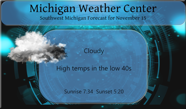
We will see mostly cloudy skies today with perhaps a few peeks of the sun with a 20% chance of rain and snow showers after sunset. Our best chance of seeing some sunshine will be tomorrow and Friday. The good news is we will have a warming trend tomorrow and Wednesday – tomorrow should be in the upper 40s and upper 50s on Wednesday. The outlook for the week of Thanksgiving from the CPC is guessing near normal temps and above-normal precip.
Forecast Discussion
--Quieter Pattern Moving In--

Upper trough lifts out today with flatter/more zonal flow aloft
to follow for a couple days. Next trough and more amplified
pattern approaches toward mid week, bringing a brief period of
mild air and rain showers followed by another cool down.

Some residual lake effect precipitation may linger this morning
with cold cyclonic flow still in place, but this will be mostly on
the lighter side as inversion heights lower to 4-5K ft. The DGZ
becomes unsaturated as the moisture becomes more shallow, so
light rain/drizzle looks more probable than light snow.

Can`t rule out some patches of black ice this morning with temps
near freezing and moisture from recent snow/rain still leftover
on the roads. Expect considerable stratus/stratocumulus clouds to
blanket the region today with -8C H8 thermal trough overhead and
continued flow off the lake.

A band of FGEN related light snow/rain is expected to streak from
Minnesota to Indiana this afternoon and evening. This area of
light QPF misses our area, passing just to our southwest/south.

--Brief Period of Warmer Air and Rain Showers Midweek--

Warm advection commences on Tuesday and is initially a dry pattern
with sfc winds increasing out of the southeast. However as winds
turn more southerly on Tuesday night and dew points around 50 head
this way would expect to see stratus and areas of light rain or
drizzle breaking out overnight.

Slow moving sfc cold front with PWATs around one inch brings a
period of likely rain showers Wednesday into Wednesday night,
primarily south and east of GRR. Digging upper trough is
approaching from the west at this time and deep/moist southwest
flow will be present before fropa.

--Another Round of Cold Air/Lake Effect Thurs, Thurs Night--

As next upper trough moves into the area Thursday with a new
installment of cold air (H8 temps around -10C), expect another
round of lake effect snow showers. Could be some light
accumulations later Thursday into Thursday night near and west of
Hwy 131. This next push of cold air does not stick around long
though, with surface ridging building in on Friday followed by
southerly return flow and somewhat milder air for next weekend.
Breaking news>>>>>>November will end up with below normal temps. Who knew?
We still have our snowmen here. Lol. One was made yesterday with our snow from the weekend.
🙂
Happy fire arm season lets keep this below average November going into December….I only need 87 more inches of snow to reach my 90 inches off to a good start …Who Knew??? Indy
You know it, so much for above normal temps in November! Not happening and we will be getting hammered with snow this winter! Let the rock n roll party begin!
Still below average snowfall and a warming trend upcoming. I love it!
So the big November storm we had yielded 1.7” of snow over 3 days. Impressive! That comes out to just over 5 tenths of an inch per day. Measuring snow a tenth at a time again. Priceless.
Yesterday was a cold and damp day. While there were periods of snow and rain and snow mixed with temperatures in the mid to upper 30’s the snow did not stick. Well there was a trace on the ground yesterday morning. So far the official snow fall for November at Grand Rapids is 1.7″ that is just below the average of 2.1″ by this date. The current official mean at GRR is 42.5 and that is -0.5. The overnight low here at my house was 31 and at this time it is cloudy and 33 here.
Slim
I guess you call it a small and very short warming trend? One day in the 50’s and most lows all week in the 20’s and low 30’s! I am ready for a snowstorm!