I did my final mulching of the leaves for the year yesterday even though there are still leaves on a few of the maples and oak trees around the neighbors I think most of them will stay out of my yard. An item of note was the large piles of walnut husks and holes in the yard from where the squirrels have been busy. There is more activity than I have seen in the past 25 years of living down here in the valley with the animals and food storage and wonder if they are thinking we are going to have a bad winter. I guess time will tell… I am not one to get overly excited about weather predictions more than a couple of days out so any hype of warmer or colder air and precipitation I take with a grain of salt.
A blustery but fairly dry pattern is in store in the week ahead. Several systems will bring chances for precipitation though any accumulations seem to be light as the weather systems are fairly dry. Gusty winds with light rain/snow is possible Sunday evening. Colder air is in store Monday night into Tuesday with only a chance of showers possible Wednesday evening. Looks to be a fairly uneventful week ahead which may last through the rest of the month.
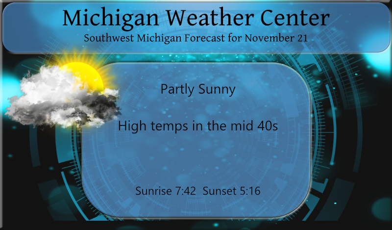
Yesterday we had a high temp of 43° and a low of 33° with a bit of drizzle which didn’t amount to much more than a trace.
Forecast Discussion
-Chance of light rain or sprinkles through Sunday

Dry air continues to dominate as returns on radar today have been
struggling to reach the ground. 12Z DTX sounding was extremely dry
below 700 mb leading to a lot of virga, so just some scattered
sprinkles/flurries possible through tonight from any weak
impulses coming through the zonal flow aloft.

Perhaps a little better chance of measurable rain develops on
Sunday as slightly higher PWATs arrive ahead of the approaching
shortwave/cold front, but the main moisture axis stays south of MI
through the Ohio Valley Region and low level dry air lingers
overhead. Best PoPs for measurable rain (a few hundredths of an
inch) is south and east of GRR, but still only in the chance
category.

-Blustery with flurries Sunday night/Monday

The main impacts with this next cold air intrusion is the gusty
winds and the cold wind chill temps. Wind gusts of up to 40-45
mph are likely along the Lk MI shoreline Sunday night behind the
cold front, and around 30 mph inland. Wind chills falling into the
teens for the Monday morning commute.

Potential for winter travel impacts from lake effect snow Sunday
night/Monday now looking much lower than previously thought.
Despite the surge of cold air behind the cold front with H8 temps
falling to near 12C, there is a serious lack of deeper moisture
and inversion heights are shown to be below 5K ft. The DGZ is
located above 5K ft so is never really saturated.

The big change is that the upper trough does not dig as far south
and is more progressive, with the H5 cyclonic shear zone staying
north of here. So thinking only a dusting of snow in spots at
best, with primarily just flurries being the most likely outcome.

-Relatively tranquil next week

Warmer air and ridging aloft will already be returning from the
west on Tuesday via strong southerly flow, and H8 thermal ridge
will be overhead on Wednesday with high temps pushing well into
the 40s. A few rain showers are possible during the midweek period
ahead of next cold front, with cold air and a chance for snow
showers returning for the end of the the week behind that front.
At this time precipitation amounts look meager in both regards, so
no big holiday travel impacts are foreseen at this time.
(Although some light lake effect snow may occur in spots Thursday
night and Friday.)
Big cold front is moving through! Get ready for low temps well down into the mid 20’s! Amazing cold!
Getting a lot of pea sized hail here at this time.
Slim
All of a sudden we had gusts of wind and rain. My lights blinked on and off a few times.
The sun came out about an hour ago and the temperature has jumped to 50°. It is another nice day.
Yup, 51 here as well. Perfect out! All signs point to another snowless day!
It was so nice outside. I hope everyone saw the beautiful sunset.
All signs point to a snowy December! Mark it down and get prepared!
The overnight low here at my house was 30. At this time it is cloudy and 41. As MV stated the week ahead looks to be uneventful.
Slim
Wow, Denver is about to set a new record for latest first inch of snow ever. Could be a sign of what’s to come for us as it shifts East for December.
https://denver.cbslocal.com/2021/11/19/denver-weather-latest-first-snow-record/
Just last year Grand Rapids set a new record for our latest first inch of snow fall when it did not happen until December 24th
Slim
Pretty typical cold November weather! Wait till the snowstorms start, then we will have some great weather to enjoy!