This is the week when summer runs into fall. It seems fitting that temperatures are predicted to fall into the 60s on the first day of the new season. Most of this month has been warm and dry, we haven’t even picked up an inch of rain so far, in Otsego. Temperatures will be in the upper 70s through Wednesday then fall into the low 60s by Thursday.
Yesterday we peaked at 82° and the morning low was 63°. We managed another hundredth of an inch of rain overnight. At this point, rain chances for the week are below 50%. Sunrise today is 7:26 am and sunset is 7:45 pm.
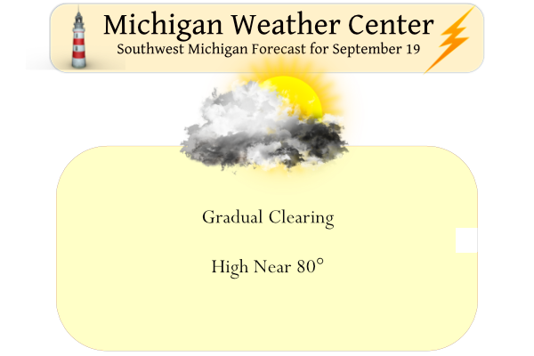
Forecast Discussion
- Showers and a few storms early this morning -

Elevated convection will continue to develop in the vicinity of
the I-94 corridor early this morning with moderate instability in
place just ahead of the cold front. Strongest storms may contain
small hail and briefly gusty winds. Any severe wx overnight should
stay south to southwest of our fcst area as suggested by a
consensus of 06Z mesoanalysis parameters and composite indices for
svr wx potential.

A consensus blend of latest CAMs and 00Z HREF guidance all
suggest the threat for convection will end by around 10Z. Fair wx
is forecast for the rest of the day today as high pressure builds
in behind the front and northwest winds slowly advect a drier
airmass into our area.

- Another chance of storms Tuesday night into early Wednesday -

A strong cold front will bring potential for showers and storms
Tuesday night into early Wednesday. However convective potential
will be mitigated somewhat by unfavorable frontal timing and the
diurnal decrease in instability overnight into Wednesday morning.

- Much cooler late this week -

Strong caa will occur after fropa and h8 temps will plummet to
around 2 C by midday Thursday. High temps by Thursday will only
reach the lower 60`s. Min temps in the 40`s are fcst late this
week with colder readings in the upper 30`s across our far north
to ne fcst area Friday and Saturday mornings. Some lake effect
rain showers are expected Thursday as well.
Highs in the 50’s and 60’s this week! Wow, just wow! The cool pattern continues!
Haven’t heard the lake effect term in a while but looks like some lake effect rain showers may be occurring later this week. Thursday night looks cold. Shows 40 for the low at my house and probably some 30s for the traditionally colder areas.
Bring on the cold!
The last weekend of this month heading to TC for a weekend the leafs should be beautiful then full or close to peak up there currently the wind today is already blowing a lot ot leafs of the trees in my hood Im noticing we will be raking soon…INDY
In going thru pictures on my phone I came across some pictures in my area of fall color. While it may not be the peak of the color season it none the less gives you a idea of when there was some good color in several years. However I do not have each year covered but there was good color in 2014 on October 15. 2015 on November 3, 2018 October 29, 2019 October 23 and 2020 October 9th. I would point out thar in 2020 there was a frost here on September 19th
Slim
A fun animation to watch of snow cover since 1950 till 2015. It’s a long video but fun to fast foreword to some years.
https://m.youtube.com/watch?v=YwehzWN4c_g
Neat find. Thanks for sharing.
The official H/L at Grand Rapids yesterday was 82/65 for yet another very warm September day. There was officially 0.14” of rain fall and there was 57% of possible sunshine. The overnight low here in my MBY was 66. For today the average H/L is now down to 73/52 so far this month the coldest low has been just 52. The record high for today is 91 is 1908 and the record low of 36 happened in 1929, 1979 and 2020. In 2020 there was frost here in my area. It looks to be warm thru Wednesday and then cool… Read more »
I just looked at a photo on my phone from 10/13/2021 and the trees were still mostly green with very little color change.
FWIW, the first 14 days of last October had highs in the 70s and 80s. The month ended up +7.1 departure from average temps.
So far there is very little color here in the NW Grand Rapids area. Some yellow but that is just about it so far. I have some dates I have posted above.
Slim
70’s again by the weekend. I love it!