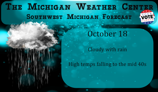
We have a relatively warm 54° at 6 am this morning with some showers around the area. Our high temps will probably be this morning as temps will begin falling into the mid-40s later today. We have a chance of snow showers tomorrow night with no expectation of accumulations. There is a shot of warmer air in the forecast coming in the Thursday/Friday timeframe when temps may warm to the 60s. All in all this week appears to be mostly cloudy with periods of rain off and on.
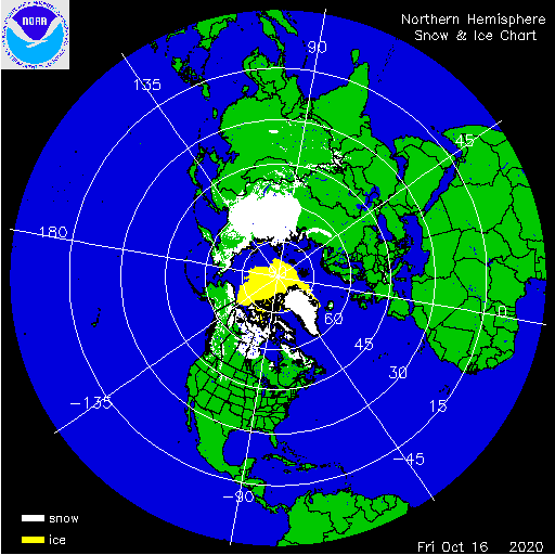
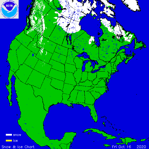
Digging into the snow and ice archives I found the snow building in Eurasia and Canada – yes folks the cold air is building in the northern hemisphere. Sea ice is still open along Eurasia along the Arctic Circle. We still have a ways to go before we see widespread snows across the northern plains and Great Lakes. We needn’t rush things into winter – let’s enjoy what we have left of fall.
[columns] [span6]
[/span6][span6]
[/span6][/columns]
Your Local Forecast
We all know the snow is coming but I am still getting things ready for winter.
Is it my imagination or age that it seems to come sooner each year before I am ready
for it. LOL!!
Light rain has just started here. With that light rain the current temperature here is 51. And the low for today so far is that 51. And the high so far has been 55.
Slim