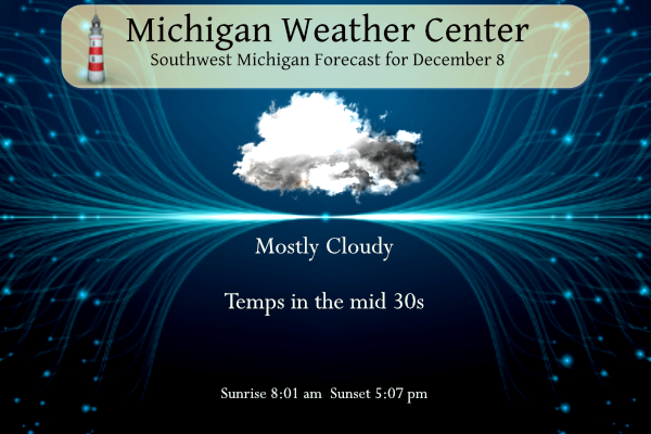
We saw some sun yesterday morning before the clouds moved back in the early afternoon. The high was 47.5° and the low fell to 30°. A cold front passing through the area today will cause today to be cooler than yesterday. Highs will only be in the mid-30s. Skies will remain mostly cloudy with northeast winds under 10 mph.
Snow is expected to spread across our area by midafternoon Friday and continue into mid-evening before ending. Snowfall will range from a half inch to 2 inches. Temperatures will be near to just above freezing as the snow begins to fall. Since it has been above freezing lately, the snow is expected to stick mostly on grassy surfaces but not too much on area roads. Even so, the afternoon and evening commute Friday will likely be slower.
Forecast Discussion
-- Potential of some accumulating snow for Friday continues --

We continue to monitor trends in the system poised to bring some
accumulating snow to the area centered on the day on Friday. One
slight trend that has shown up in much of the model data is the
system being a tad slower coming through the area, and a tad further
north. These trends are the result of the closed upper low taking a
little longer to open up.

The mean axis of the most snow continues to be in a good consensus
from the models, being just near or just south of the I-96 corridor.
Nothing has really changed with regards to the factors that should
limit accumulations getting out of hand, and resulting impacts. The
amounts look like they have nudged up just a tad with the slower
progression of the upper system. We are still thinking a general 1-2
inches of snow (mainly on grassy areas) will be in the main axis of
snow. The fgen bands will likely produce some locally higher
amounts in a narrow band.

Sfc temps should be just above freezing, even accounting from a
model bias of too warm of temps under bands of snow. This, along
with the snow occurring during the daylight hours, should keep roads
wet except under the locally heavier bands where the snow rates
could cause some slushy conditions.

There are a couple of other concerns after the snow tapers off
Friday evening. First, if temps drop below freezing, untreated roads
could become slick. Thankfully, this would likely happen after dark
and the evening commute to limit the impacts. The other possible
impact that could crop up is maybe some freezing drizzle if temps
are low enough. We lose the deep moisture, but low level moisture
remains. We will have to watch those possibilities.

-- Light snow likely for Saturday night --

Not really any changes regarding the snow chances centered around
Saturday night. The models continue to agree in bringing a strong
upper wave over Nrn Lower MI, and closing it off briefly before it
shifts east of the state. Enough low level moisture hangs around,
and combines with limited mid and upper level moisture from the
wave, to produce light snow over much of the area. Snow amounts from
this should remain under an inch for just about all of the area.
Further east, amounts will have the potential to be a bit higher
with some lake enhancement off of Lake Huron.

-- Wet system late Tuesday night/Wednesday then colder --

Most areas should stay dry after the light snow on Saturday night,
until very late Tuesday night. High pressure building and resulting
subsidence strengthening ahead of the digging Western U.S. low will
help to keep things dry, along with a dry flow from the east.

Rain will develop late Tuesday night and early Wednesday across the
area. This develops as a 60 knot low level jet helps to surge
moisture up and over the area. The occluded front will then come
through and put an end to the rain. We will end up in the dry slot
for a bit, likely with mild temps and breezy conditions. Colder air
will then finally wrap in on Thursday, bringing a few snow showers
to the area.
Euro is showing up a pretty big snowstorm Christmas eve let it snow let snow let snow ..Stsy tuned INDY
That would be cool.
With the updated forecast it still looks like it will be too warm in most areas to see much in the way of snow accumulations over the next week or so. The when it gets colder it becomes dry. So will there be a White Christmas? Too soon to tell.
Slim
Well given the current weather data you can bank on a snowy winter this year! I love it!
Running about 19 inches of snow over average currently in my hood for the young season with plenty more chances coming up looks like we will be moving into January with a above average snowfall just get the lakes frozen now ready to go ice fishing…INDY
Now that we are nearing the end of the year, what was your favorite weather event of the year?
Mine would be surviving a direct hit by the EF-3 in Gaylord. I still can’t explain what it feels like unless you experience it yourself.
Other than that, probably the severe storms on August 3rd
The continuous warmth and sunshine this year from May to late October!
37* degrees is warmth?? Lol.. INDY
You were in the heart of one of the biggest events in Michigan in 2022. There were not many really big one time events this past year. But that said it was a comfortable year by Michigan standards with mostly mild temperatures a good amount of sunny days. I will do a summery of the year after the start of the New Year. As for the storms on August 3rd that would be the biggest area wide event. The snow fall in the Grand Rapids to Kalamazoo area this past November is also one of the bigger events for the… Read more »
All of the skiing and snowshoeing and snowmobiling that I got in all winter! Nothing better! Incredible!
Well, given the warm extended forecast until at least mid month, it looks likely 2022 finishes as yet another warmer than average year (excluding GR’s faulty data once again).
patiently waiting for this pattern to change and bring us some more significant snow. It sure would be nice to have a white Christmas eve/day, and allow for the kids to get out and ski or go skating…
Good morning. The official H/L yesterday at Grand Rapids was 46/31 for yet another well above average temperature day at Grand Rapids. There was a reported trace of rain fall and there was no snow fall, and of course there remains no snow on the ground. There was 42% of possible sunshine. The overnight low and current temperature both here and at GRR so far is 33. For today the average H/L is 38/27 the record high of 64 was set in 1966 the record low of +2 was set in 2005, the record snow fall for the day is… Read more »