In the ‘you don’t see this everyday department’, I was walking over to my neighbors yesterday and I caught movement out of the corner of my eyes, low and behold a half-grown pig comes walking out of the woods. We don’t have feral pigs around here so we herded the swine back to her home two lots over. My concern was she would get up near M89 and cause all sorts of havoc with the traffic. Luckily all went well for all concerned.
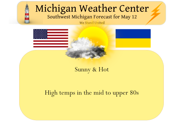
Yesterday’s high/low temps were 91° / 64°!
At 6 am we have a line of storms crossing the lake between Sheboygan and the Straits. These will stay well north of Grand Rapids. Temperatures the rest of the week will be well above normal, considering that normal highs this time of year are in the upper 60s to around 70. This will be followed by a cool-down this weekend to more normal temperatures. Scattered showers and thunderstorms are expected Saturday, and a few showers and thunderstorms will also be possible Sunday into Monday.
Forecast Discussion
- Dry and Continued Very Warm Today and Friday

Model RH layers indicate dry air throughout the atmosphere today and
likely into Friday as well. The upper high and associated subsidence
over Michigan should hold any Wisconsin convection at bay for the
next couple days. Surface winds of around 10 kts with some gusts to
20 kts are possible. The abnormally warm 850 mb temperatures in the
upper teens C will keep the low to mid 80s going across the region,
with some upper 80s possible across central Lower Michigan.

- Scattered Showers over the Weekend With a Few Thunderstorms

A deepening upper low over Manitoba on Friday will gradually lead to
falling heights across the Great Lakes. A subtle 500 mb shortwave /
vort lobe moves in during peak heating on Saturday. However, it
is questionable how much sun we`ll get before this feature moves in.
Still, model guidance supports around 1000 J/kg of SBCAPE
developing. A weak surface cold front should be moving through
between 18z and 00z. Even so, the synoptic scale support is pathetic
with deep layer shear of around 5 kts. PWATs should hover in the
1.20-1.30" range. All of this likely adds up to scattered showers
with a few thunderstorms, mostly away from the lakeshore region.
Locally heavy downpours could occur with the slow movement of cells,
but model guidance is not bullish on rain totals.

A few showers and possibly thunderstorms may occur mainly east of US
131 Sunday afternoon and evening as mid level heights continue
falling underneath an area of upper level divergence and a stronger
cold front moves through. Rain amounts on Sunday do not look heavy
at this time.

- Cooler and Occasionally Wet into Next Week

850 mb temps crash to around 0C by Monday night so it will
certainly feel cooler around the area, but even so we are still
anticipating highs to be in the 60s. Scattered diurnal showers are
possible mainly east of US 131 on Monday. The flow aloft quickly
goes zonal by mid week, and possibly even back to SW flow by late
in the week with more LLJ activity impacting the Midwest/Great
Lakes at that time. There is a fair amount of ensemble spread that
far out of course, but medium range guidance does support one
or more periods of showers and storms mid to late week next week.
Wow 95 degrees at Traverse City! Incredible heat for early May!
This smashes the previous record high by a whopping 9 degrees and ties the warmest temperature ever recorded in the entire month.
New record high at Muskegon the current reading of 90 at Muskegon is the new record high for today. The old record was 83 set in 2011. Grand Rapids has now tied the record high for today with the current reading of 86. I have 88 here at my house will have to see if GRR comes in with a higher reading in the next few hours.
Slim
Wow smashed the old record by at least 7 degrees!
So now Holland and Muskegon have both hit 90 degrees and yet the warmest GR has been is 86? Hmmmm
88 here with a DP of only 41.
The wind is out of the SSE in Holland. Not uncommon to see lakeshore communities have some of the warmer temps in an offshore wind. Currently 87 at my house close in line with Grand Rapids. Is my temperature reading to cool because I haven’t hit 90 quite yet? No.
Warmer today, but the dewpoint is in the 40s, so it feels great out.
All this heat has certainly cooled off the blog. Where did all the winter crazies go?
Wow more record highs again yesterday! May is now above average temps and the latest 8-14 day CPC shows more warm temps upcoming!
After such a cool and cloudy stretch I think everyone is eager to get out and enjoy.
Record highs set yesterday! Yes there were some record highs set yesterday. The official H/L at Grand Rapids was 87/66. That 87 was the 2nd warmest May 11th and the low of 66 tied 1922 for the warmest minimum. At Muskegon the H/L was 87/71 the high tied 1930 for the record and the low of 71 is the new record minimum. At Holland their H/L was 90/67 the high of 90 tied 1993 for the record and the low of 67 is the new record warmest minimum. At Kalamazoo the H/L was 89/67 both the high and low are… Read more »
The overnight low at Grand Rapids looks to have been 63 here at my house the overnight low was 62 and that is the current temperature here with hazy skies. There are some thunderstorms to the NW that will miss GR well to the north. The record high for today is 86 set way back in 1896 in more recent times in 2nd place a high of 85 was set in 2011, 2004 and 1956. Remember that today is part of the so called “Three Chilly Saints” or a period of cool weather that seems to happen in mid May.… Read more »