Current Water Levels
The U.S. Army Corps of Engineers (USACE) and Environment Canada jointly monitor and forecast water levels on the Great Lakes. Information is compiled and disseminated on the USACE Detroit District website. For the most up-to-date information on current water levels of the Great Lakes, visit the U.S. Army Corps of Engineers website.
Measuring Great Lakes Water Levels
The water levels of the Great Lakes are determined based on a network of water level gages located around each Great Lake. These gages are maintained by the National Ocean Service in the United States and the Canadian Hydrograph Service in Canada. Their locations were selected based on their data record, geography and accessibility. They are spread around each lake in order to provide a lake-wide water surface elevation. The U.S. Army Corps of Engineers (USACE) is responsible for collecting and disseminating information on Great Lakes water levels. Great Lakes water levels are measured from an elevation reference point referred to as the International Great Lakes Datum (IGLD). IGLD consists of benchmarks at various locations on the lakes and St. Lawrence River that roughly coincides with sea level. All water levels are measured in feet or meters above this point. Movement in the earth’s crust necessitate updates to this datum every 25-30 years. The first IGLD was based upon measurements and benchmarks that centered on the year 1955, and it was called IGLD 1955. The most recently updated datum used calculations that center on 1985, and it is called IGLD 1985.
Records are based on monthly average water levels and not daily water levels. In addition to the all-time record lows, each month has a minimum and maximum water level that is reflective of the seasonal fluctuations of the lakes.
Water levels around the Great Lakes Basin have been measured since the 1860s. Early measurements were not comprehensive so the official period of records for Great Lakes water levels goes back to 1918.
Since lake levels have been recorded, there has been a general rise and fall of lake levels. However, there is no discernible cycle based upon the U.S. Army Corps of Engineers period of records from 1918-2011.
By studying beach ridges along Lake Michigan, as well as radiocarbon dating of soil core samples, scientists have developed a 4,700 year record of Lake Michigan-Huron water levels. From analyzing this data, scientists identified a general rise and fall cycle that lasts approximately 120-200 years. They also learned that there is a shorter-term fluctuation from 29-38 years (averaging about 32 years) that occurs within the longer cycle.
In addition to measuring water levels in the Basin, mathematical relationships have been generated between the measurements of water levels and the rate of flow within the connecting rivers of the Great Lakes system in attempt to predict future water levels. The models are able to generate forecasts of water levels for each lake. However, these forecast models fundamentally depend on accurate seasonal variations of weather patterns. Because there is large variability in weather forecasting, water levels can vary widely from what is predicted.The United States Army Corps of Engineers (USACE) provides a range for future water levels. This projection is based on the present condition of the lake basin and anticipated future weather. The forecasts fall within the range 90% of the time. However, a significant weather pattern shift can alter lake levels enough for levels to fall outside of the forecasted range. USACE provides Weekly Great Lakes Water Levels information that includes an update on current water levels conditions, weather, and outflows and a forecast of water levels over the upcoming month as well as a Monthly Bulletin of Great Lakes Water Levels which is a six-month forecast of Great Lakes water levels.These water level forecasts can be accessed at: http://www.lre.usace.army.mil/greatlakes/hh/greatlakeswaterlevels/waterlevelforecasts/
44* out at thee YARDofBRICKS a lot cooler then yesterday Bill Steffens says we maybe not done with cold and snow for mid April…INDY
I just hope my beautiful lilac bush doesn’t die if we continue to have colder then normal nights coming up it’s Blooming now …INDY
Are you sure it is a lilac bush Indy? My lilac’s are not yet in bloom. Anyway your lilac’s will be just fine they are cold hardy.
Slim
Good I love my lilac bush…I was looking at it yesterday and there are buds in all ready…INDY
Boy last night was perfect. We had our son and his wife over for a fire (sitting on opposite sides of course). It was really good to see them with everything going on and not being able to be around people. Thanks Mark for the heads up on the ISS, very bright flyover!
Good info Slim! I wonder, in the years they’ve been keeping track of water levels has there ever been such a rapid rise like the past few years? Wasn’t to long ago people were thinking the lakes were drying up, and now they’re so high it’s causing massive erosion and flooding.
I have seen the water levels both rise and fall. When they rise the people who live on the lakes complain that their land and houses are falling into the water. When the levels drop some of the same people will complain that their docks do not reach the water anymore.
Slim
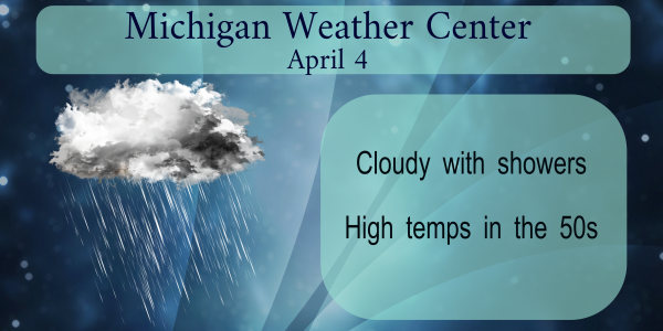
Light rain falling here with a temperature of 47 at this time.
Slim
Starting around Wednesday of next week get the hoodies out probably till the end of April highs only in the 40’s what’s that about 20* degrees below normal for this time a year did we really believe it was going to stay warm …Naaaaa…Have a good Saturday..INDY
At this time it looks like a good part of April could be on the cool side.
Slim