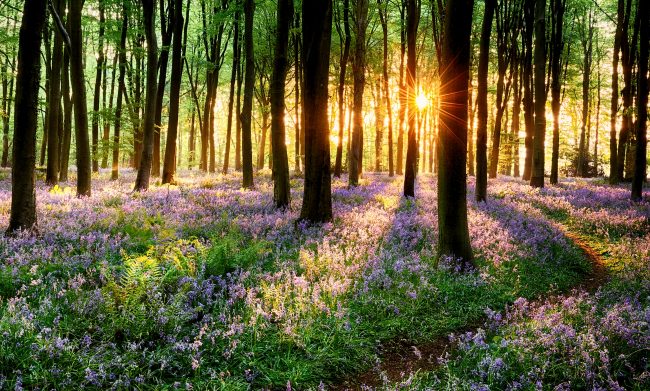
The spring equinox begins at 12:15 EST today. Daylight and night time are nearly 12 hours apiece and we are heading into a rebirth after a cold winter. The days will get longer and the nights shorter and the green and color will begin to resurface from the ground and trees. Warmer air will be coming, but not this week or perhaps the rest of the month.
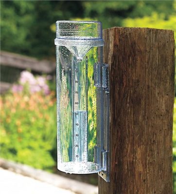
Now is the time to gather the items you would want in your severe weather go bag, more on that later this week. I will also have a post on CocoRaHS (Community Collaborative Rain, Hail and Snow Network) and the proper rain gauge they recommend (pictured below). I think the gauge should be mounted a bit higher on the post than pictured.
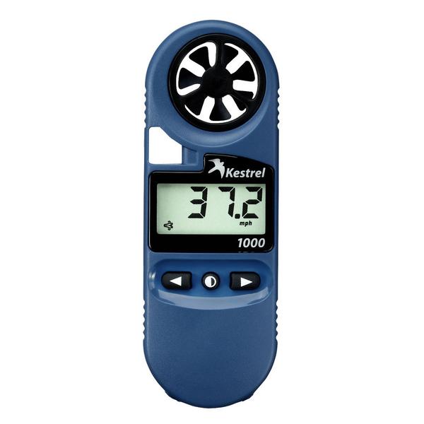
I am adding two new items to my go bag along with my Radarscope app. I now have a hand held anemometer and a lightning strike device which can detect strikes up to 40 miles away. It can also measure number of strikes and if the storm is coming or going. I am not seeing any storms coming with lightning any time soon so I will just have to wait to use the Strike Alert.
I am thinking most of us are ready for warmer temperatures and warm weather outdoor activities. I like storms and hope we have a few more than we have of late just like heavy snows of our past it seems strong storms have been few and far between in the past few years.
[columns] [span4]
[/span4][span4]
[/span4][span4]

[/span4][/columns]
Weather-wise there is still not a lot to talk about for the state of Michigan as high pressure remains the dominate feature. Today will be cool and windy, a midweek system will pass south of us tomorrow then temperatures will moderate closer to normal for this time of year. The storm system for Saturday will again pass to the south though there is a slight chance of snow from I94 to the border.
Give me below normal temps all year long!
http://www.cpc.ncep.noaa.gov/products/predictions/814day/814temp.new.gif
http://www.cpc.ncep.noaa.gov/products/predictions/WK34/gifs/WK34temp.gif
Yeah, these 40 degree temps and no snow are great aren’t they……Doesn’t matter though, I’ll be in Florida in early April during those model time periods, looks nice and WARM down there!! Plenty of GOLF awaits
Forecasted temps keep getting WARMER & WARMER!!!
https://weather.com/weather/tenday/l/USMI0344:1:US
Happy Spring bring on Thunderstorms! INDYDOG14!!
Here comes more warmth!
http://www.cpc.noaa.gov/products/predictions/610day/610temp.new.gif
BRING IT!!
https://days.to/until/spring
Happy Spring everyone! I too am hoping for a little more active weather this Spring after another lackluster Winter in regards to storms. It’s been a long time since we’ve had much action of any kind other than flooding. Seems the only good lightning storms we get anymore are in January and February the past couple years. How odd is that?
We’ve been storm-free for a long time, it seems. However, I am enjoying all the sunshine lately.
Spring is here, and I’m loving all this sunshine! GR is about to enter below average snowfall on the season. And next week is setting up really nice. WOOD has a couple more 50’s in their forecast.
I can’t get enough of the Nubs web cam! I am heading there for a ski weekend at the end of this week! What a winter and there is nothing better than a snow filled mountain in late March!!
https://www.nubsnob.com/livecam/
The only thing worse than driving 3.5 hours to ski on tiny hills is skiing in slushy man made snow. Go west, my son.
Would anyone like to see a ridiculous snowfall forecast form John Dee. He relies on the EURO model and the EURO model has been total garbage all winter long, especially in the mid range. The EURO has mis- forecast storm after storm after storm! Total garbage and should be burned in an incinerator! The worst year I have ever seen for the EURO. The GFS has been far better. However for those that think the snow is done for the year, you are 100% WRONG!
http://johndee.com/forecasts/forecast-graphic/