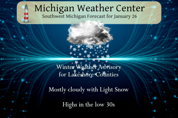
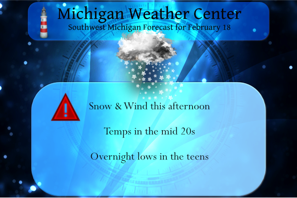
Temperatures will range from lower to mid-30s today. Snow showers, a few of which could be locally heavy, will affect locations mainly between the Lake Michigan shore and US-131. A couple of brief bursts of snow could also make their way toward US-127 late in the day. We have a Winter Weather Advisory for the […]
This is the day of reflection, of giving. I was raised in the church, so this is the day we reflect on the birth of Christ thus the name Christmas. No matter your beliefs, this is a day of giving, sacrifice, love, respect, and the conscious need to put others’ needs above ourselves. I hope […]
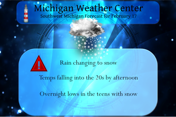
Another round of rain and snow is expected today for much of Lower Michigan. Accumulations of 1–4 inches are expected for areas along and north of I-96, with most snow falling between 7 AM and noon. Where heaviest snow falls, snow-covered/slippery roads are expected. Farther south, snowfall will be considerably less, with mainly wet roads. […]
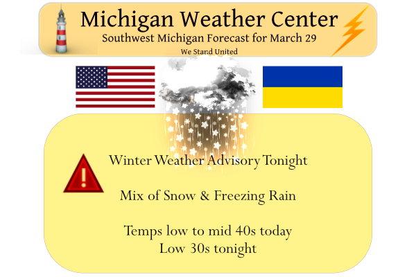
We have a temp of 55° at 5 am with some light rain falling. We have received .96 of an inch from our current system passing through. Yesterday’s high was 58° and the low 38°. The deep storm system passing by will track through the region today. Colder air will filter in from the northwest […]
We have a temp of 17° at 5:30 this morning, a bit cold for late March. Yesterday we had a high temp of 33° and a low of 17°, more like January than March. Here we go again – a bit late in March for these discouraging words from the NWS. Most of the state […]
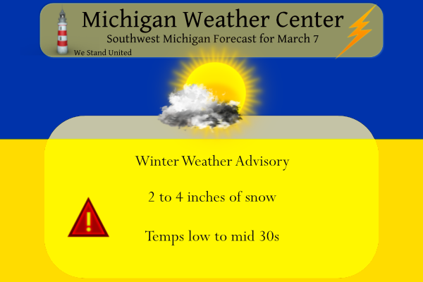
We have some light snow falling in Otsego at 5:30 this morning with a temp of 32°. Yesterday’s high was 61° at midnight and the low was 32°, rainfall was .13 of an inch. We have a winter weather advisory in place for the following counties: Mason-Lake-Osceola-Clare-Oceana-Newaygo-Mecosta-Isabella-Muskegon-Montcalm-Gratiot-Ottawa-Kent-Ionia-Clinton until 3 pm. Midland-Bay-Huron-Saginaw-Tuscola-Sanilac-Shiawassee-Genesee & Lapeer counties until […]
Yesterday’s we had a high of 26° and a low of 20°. We are now at that time of year we should start seeing temps creep up to springtime levels with fewer incursions of cold air. Sure we will see a few bumps in the road, things will be looking up for those of us […]
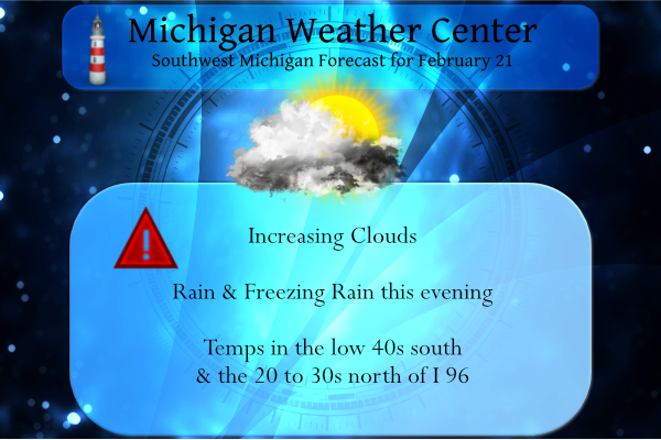
Yesterday we had a sunny warm day with a high of 49° after recovering from a low of 11.5°. We have a large variation in temperature setting up for today which will set up the demarcation zone between rain and freezing rain: We have an interesting weather pattern shaping up beginning this evening. Below […]
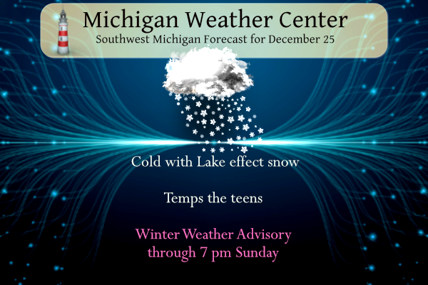
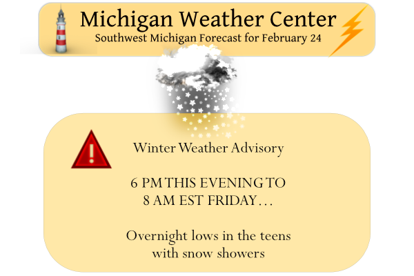
Light snow moved into the area yesterday afternoon into the evening bringing us 2.5 inches. We now have 20.3 inches for February and 51.3 inches for the season. Yesterday’s high was 43° and the low 19°. We once again have some advisories to deal with day: …WINTER WEATHER ADVISORY IN EFFECT FROM 1 PM THIS […]
We lost a lot of snow cover yesterday and overnight. Yesterday’s high was 48° and the low was 31°. We have had .68 of an inch of rain so far today (this is the digital reading, not the ‘official’ analog reading). We have multiple hazards for today. …FLOOD ADVISORY IN EFFECT UNTIL 430 PM EST […]