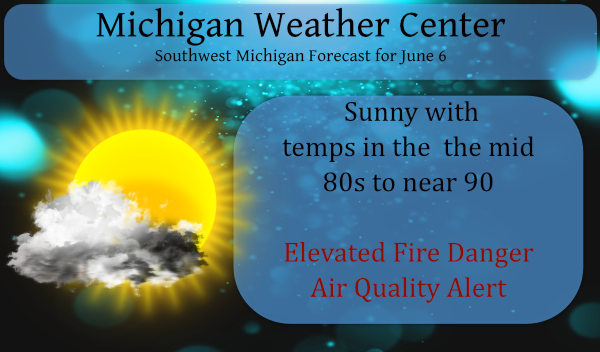
Our rainfall total for yesterday was .16 of an inch which brings us to a whopping .21 for the month of June. We reached 90° yesterday. Of course, we had a wide variety of rainfall totals across the area, the thing which was consistent was the humidity creating a very sultry day across the state. […]

Once again the rain missed the Otsego/Plainwell area yesterday. Our high temp was 84°. We will have much of the same scenario today with hit-or-miss showers and a few rumbles of thunder. It is nearly impossible to predict when or where the rain may fall so consider yourself lucky if you get some. What may […]

We had a high of 81° yesterday with a 73° dewpoint and .05 of an inch of rain fell in the afternoon. Our overnight low was 61°. Ten miles away in Allegan they had .73 of an inch of rain which shows the frustration of hit-and-miss showers. This could make an interesting drought map come […]
We had an overnight low of 71° after a high of 90° yesterday. Humidity levels are on the increase making the misery index outside moving into the uncomfortable range. The big question today is will we see some rain? There are some showers moving through Indiana from south to north, though not substantial the green […]
Yesterday we had a high temp of 88° and our low is 66° this morning. Our last measurable rain was on May 28th (these are Otsego/Plainwell stats). Below is a graphic of our departure from normal for precipitation this year. Most of the state is 4 to 6 inches below normal. The following is an […]

We are now into the sweet summertime. Summer is by far my favorite time of the year with long sunny days and warm (sometimes hot) temperatures. At Grand Rapids the new 30 year mean meteorological summer temperature is 70.1. Daily H/L start out at 75.3/54.1 on June 1st reaching a peak of 83.4/62.7 on […]

At the time of this post, we have had nothing more than a few sprinkles around the Otsego/Plainwell area. The last time it rained was May 28th so our dry pattern continues. Yes, some like the warm dry weather but this has a significant effect on farmers’ crops and those of us who grow veggies […]
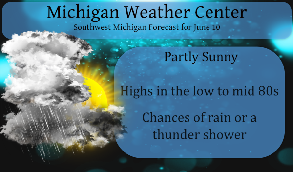
Temperatures will continue to climb for the next several days, and so will the humidity as dew points increase. Highs around 80 are expected Thursday, mid-80s Friday, and upper 80s over the weekend. We don’t see many chances for rain through the weekend. We have some fog around this morning which will dissipate bringing us […]
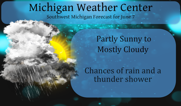
The heat will begin to build into the state beginning today with increasing temps as we move further into the week into the weekend. Chances are once again slim for rain through much of the state with 20% in Grand Rapids, 30% in Kalamazoo with better chances increasing to 60% in Detroit. After the system […]
After a dry and cool spring, especially towards the end, we look towards our first steps into summer. One would think we would flip over into a wetter pattern after our lack of significant snow and rain over the past two seasons but who knows as the crystal ball remains cloudy as do the long-range […]