
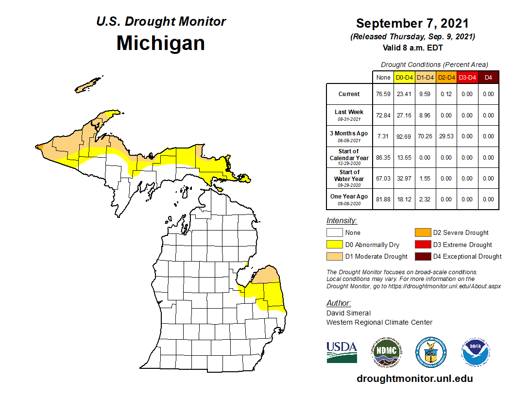
We are in another extended dry period for much of SW Michigan though we have had some rain we have only measured it in tenths and hundredths of an inch at a time. Below is the drought monitor released yesterday, the really dry areas are still in the thumb area and the U.P..
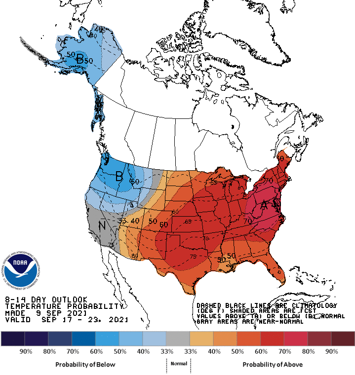
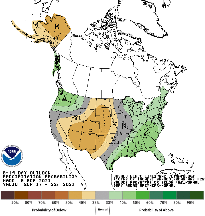
We will be back in the 80s tomorrow into next week with overnight lows in the 60s bringing us back into a more summer-like pattern which may last through the end of September according to the CPC guesses. This would keep us in the upper 70s to low 80s with slightly above normal chances for rainfall.
[columns] [span6]
[/span6][span6]
[/span6][/columns]
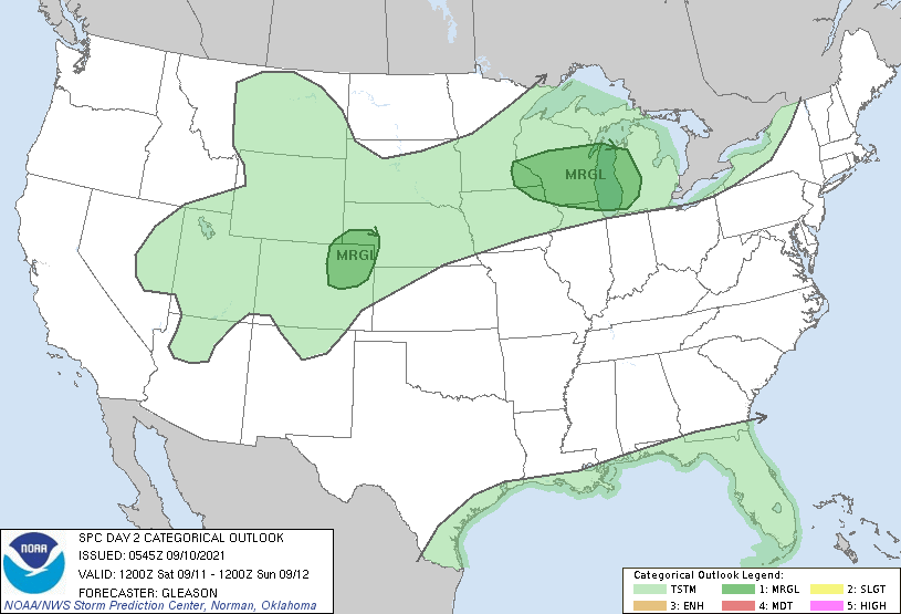
Below is the SPC outlook for Saturday late afternoon and overnight – we are in the marginal risk area for severe weather.
We have a temp of 47.8° at 5:45 am. Yesterday’s high was a very nice 72° and the low was 49.3°. Sunrise today is at 7:18 am and sunset is at 8:01 pm.
Forecast Discussion
- Gusty winds for Saturday

A low level jet moves in later tonight and persists across the
region into Saturday night.   As surface temperatures warm up
diurnally on Saturday...the mixing depth increases.  This will
result in strengthening gusts.  Based off of Bufkit it looks like we
will be able to tap into the 20 to 30 mph winds up around 2k to
3k ft. Models are in relative agreement on this scenario.

- Marginal risk for severe storms Saturday night

If storms could get going Saturday night...they could become
organized.  Bulk deep layer shear increases to over 40 knots as MU
CAPE upstream in WI climbs to over 2000 J/kg late Saturday
afternoon into the evening. Forecast soundings show warm
temperatures through 700 mb...but very steep lapse rates
developing above that as the EML advects in. A cold front will be
dropping down from the northwest at night. Thus if enough lift can
occur...a few storms could form with a potential for them to be
severe.

There could be another window for strong/severe storms on Sunday. If
the front does not clear the CWA prior to any heating
potential...another round of storms would be possible.  Deep layer
shear is still shown to be above 40 knots during the day.   At this
time southern parts of the CWA are at a higher risk for this to
happen.

- Warm temperatures over the weekend into early next week

While the surface front may slip south of the CWA on Sunday...it
does not stay there very long and is shown to lift north of the
region on Monday.  Ahead of the front 925 mb temperatures climb to
above 20 deg C on Saturday.  If we mix to this level...highs in the
80s would occur.  While 925 mb temps dip Sunday into Monday....above
normal highs are expected.  We will be in the warm sector for
Tuesday...which will allow for a very warm day.  High temps well
into the 80s are looking likely as 925 mb temps make a run at the
mid 20 deg C values.
Extended summer warmth. I love it!
+1000000
BRING IT!!
The overnight low both here and at the airport was 50 and that is the coldest low since June 23rd. At this time it is clear and a cool 52.
Slim
Well we’ve had a couple nice days, now back to the heat. Although astronomically speaking it is still Summer for about 2 weeks yet.
It was a cool night at the ballpark last night. Many people had there coats on. The chances of it getting real hot and are becoming much less. It had gotten into the low to mid 90’s in the past up to September 29th but the chances of that happing are become less and less with each passing day. In the past it has gotten well into the 80’s on some days well into October.
Slim