Temperatures will continue to climb for the next several days, and so will the humidity as dew points increase. Highs around 80 are expected Thursday, mid-80s Friday, and upper 80s over the weekend. We don’t see many chances for rain through the weekend. We have some fog around this morning which will dissipate bringing us […]
The heat will begin to build into the state beginning today with increasing temps as we move further into the week into the weekend. Chances are once again slim for rain through much of the state with 20% in Grand Rapids, 30% in Kalamazoo with better chances increasing to 60% in Detroit. After the system […]
After a dry and cool spring, especially towards the end, we look towards our first steps into summer. One would think we would flip over into a wetter pattern after our lack of significant snow and rain over the past two seasons but who knows as the crystal ball remains cloudy as do the long-range […]
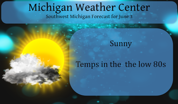
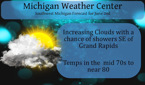
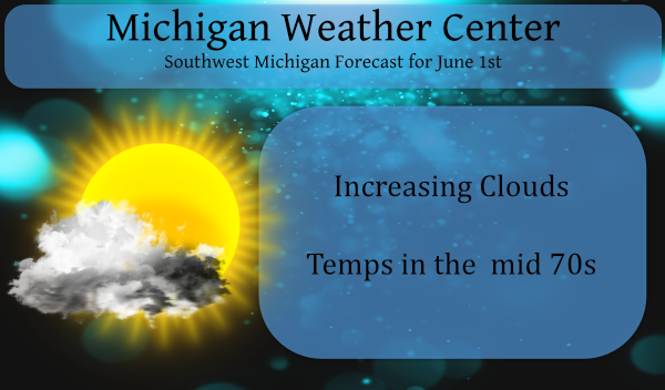
Our long weekend had been nice albeit a bit on the cool side especially in the mornings but today we begin to see a gradual warm-up until we reach the other end of temperature extremes. Rain will generally be north of I96 today with cloudy conditions most everywhere else. We will close out the month […]
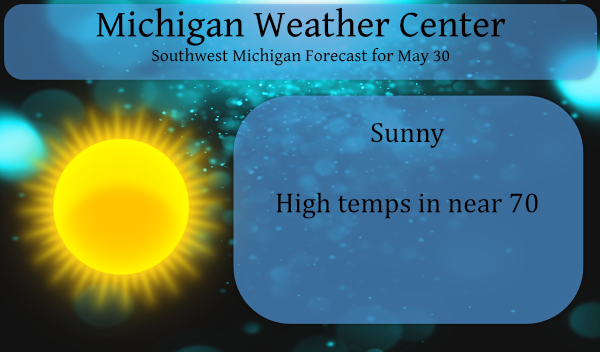
We have another sunny day in store for SW Michigan. Yesterday’s high/low was 64/34° and we have 34° once again this morning with a 33.2 dewpoint, these are 7 am readings in Otsego. Our rainfall has been only 1.32 inches for the month of May. Below are the weather extremes for Memorial Day. We […]
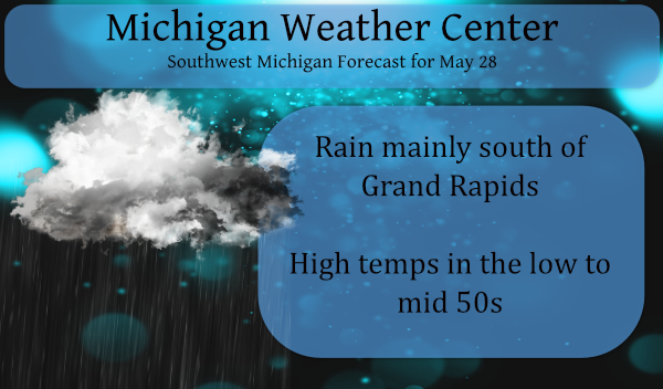
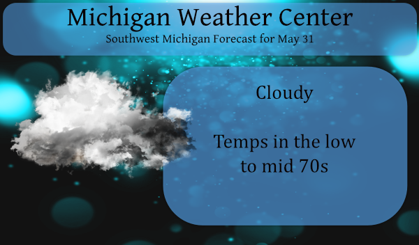
We will have a chilly start to the holiday weekend with a little light rain and temps struggling to reach the mid-50s. We had .25 of an inch of rain overnight and early this morning – the temp is 40° at 6 am with some mist in the air. We now have a total of […]
We have a cool breeze blowing early this morning at 3:30 as a prelude to a cooler pattern over the next few days. There is a frost advisory in place for the northern counties for early this morning where temps will drop into the 30s. The coldest I have seen thus far this morning is […]
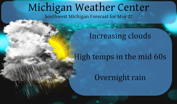
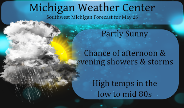
Rain is beginning to move through this morning before daybreak. This should be through the area before noon, so not an all-day soaking event to be sure though we may see some brief downpours with some thunder and lightning. After the front pushes through the air will cool with the coolest being in the northern […]
We have been speculating about rain chances for the good part of three weeks now and most of the medium range guesses have been ill-conceived with the exception of the northern lower very little has fallen – a trace in many locations. The last time we had significant rain was the .55 of an inch […]

Yesterday and overnight there was a wide variety of rainfall amounts around the area. We had a trace here in Otsego, 0.9 fell in Dorr, .22 in Plainfield, 1.14 in Stanwood and 2.30 near Mount Pleasant just to name a few. A cold front that passed through on Sunday will return north as a warm […]