Yesterday we reached a record 61.5° in Otsego. We had the slider and windows open to enjoy some fresh air. We have breezy conditions this morning with 48° at 5 am. We even had a couple of thunderstorms move through overnight. The National Weather Service confirmed that a tornado was spotted last night just south […]
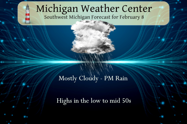
Today and tomorrow will feel more like early spring rather than winter with temperatures in the 50s for southwest Michigan. Chances of rain move in for later this afternoon and continue through Friday night before the passage of a cold front which will drop our temperatures back closer to normal by February standards. NWS Forecast […]
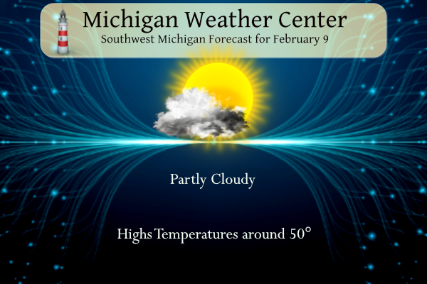
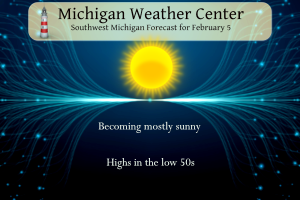
We will see more clouds than in the past few days. We will see sunshine at times with a breeze from the south. Temperatures will gradually warm with highs likely in the 50s for most of the area Thursday. Conditions cool over the weekend into early next week. NWS Forecast Today Mostly cloudy, with a […]
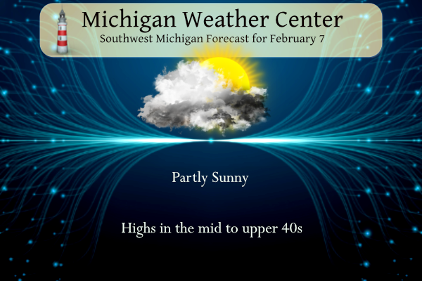
Yesterday we reached 48° with mostly sunny skies which is warm by February standard. We have a similar day in store today. Dry conditions continue through Thursday. Mostly cloudy skies will be present at least through the morning hours today, with more clouds expected for Wednesday and Thursday. Temperatures during this time will gradually warm […]
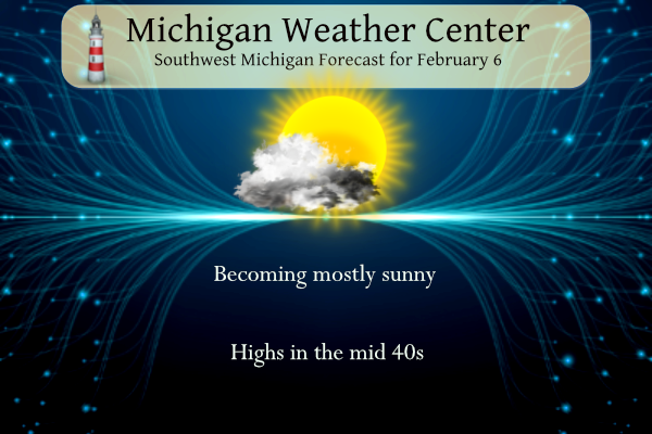
The sunshine and warmer temperatures we had yesterday are once again in store today. We reached 50° yesterday. We’ll see continued sunshine during the first half of the week. Rain returns Thursday night with the next storm system. Temperatures during this time will gradually warm with highs likely near 60° Thursday before dropping back into […]

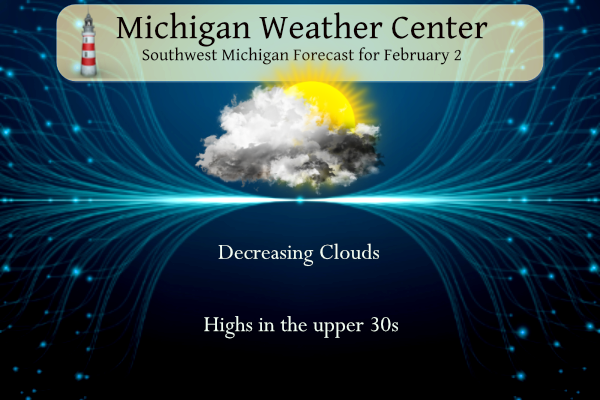
We have very mundane weather to start the month of February. Our next system won’t come until late in the week. Areas that see fog this morning and overnight tonight could see some slick spots on roads and sidewalks along with the reduced visibilities. Partly cloudy skies are expected over the next few days with […]
We have great expectations of an extended period of fewer clouds and more sunny conditions for several days. Little or no precipitation is in the forecast through next week. Today temperatures will be in the upper 30s rising into the mid-40s this weekend well into next week. We may even break 50° towards the end […]
We may begin to see some appearances of some sunshine today with better chances tomorrow on through the weekend. Temperatures will be more like March than early February. Despite very cold temperatures and snowy weather in the middle third of the month, January was bookended by mild temperatures, particularly daily low temperatures well above normal, […]

Our mostly snow-starved winter continues. We are looking forward to some sunshine moving into the area Friday through the weekend to break up the cloudy pattern we have had most of the month. We will see a warming trend into the mid 40s into next week. For snow enthusiasts, you may have to wait a […]
This has been a rather dreary month with about 9% sunshine, we had some sun leaking through the clouds after 4 pm yesterday. All the cold air has moved back into northern Canada and Alaska with some areas 40 to 50 below zero. With a blocking pattern setting up in the CONUS we will see […]