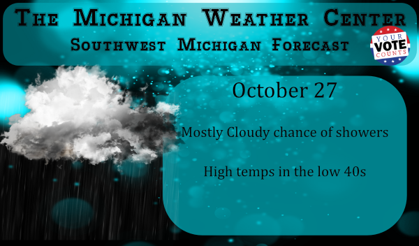
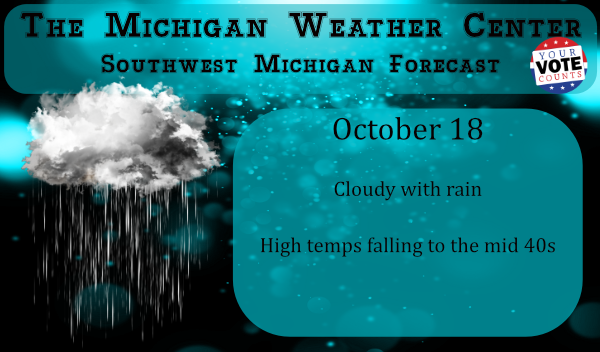
Expect showers to move in and to be widespread this morning, some wet snow could mix in with the rain at times inland of Lake Michigan. The showers will come to an end by early afternoon. Highs will be in the lower to mid-40s in southwest Michigan. Clearing skies are expected by evening. Overall a […]

For those of you interested in snow and ice I have the snow and ice archives updated for 2020. These go back to 1997 and link back to the US National Ice Center graphics for every year since then so you can compare each year. The last link on each page are the current conditions. […]
Praise the Lord Big 10 football is back!. Sparty took a sound thrashing from a much improved Rutgers and the Wolverines started out their season with a big win over the Golden Gophers. Regardless of the outcomes, I was happy to see our teams play on Saturday though I am wondering for how long with […]

We were caught on the rain train yesterday in Otsego ending up with 2.62 inches during the morning hours. Our total for the month is 4.93 inches. Our high for today is 67° which was just after midnight though temps have hovered there most of the early morning hours. We currently have 65° at 5 […]
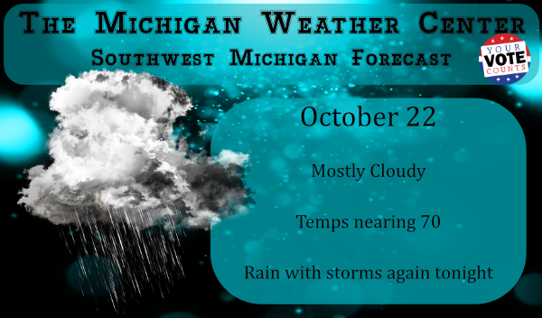
We currently have moderate rain this morning with a temp of 45°. This will be the theme for this morning and again tonight and tomorrow morning. The further south you go the better the chance will be for temps reaching 70° today. Looking at the current point forecasts the demarcation zone for 70° will be […]
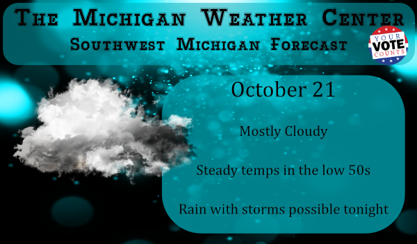
We have a relatively balmy 52° this morning at 4:30 am. With the rain overnight, we picked up another .36 of an inch which brings our total for the month to 2.31 inches and 5.48 inches since the first of September. Our unsettled pattern will continue into the end of the week. One change will […]

Many forecasts this year are pointing toward a wet winter this year. We have La Nina in play and cold air rapidly building snow cover in Siberia and possibly Arctic excursions of cold air coming more into play than we did last year. It won’t take much to exceed the snowfall accumulations we had last […]
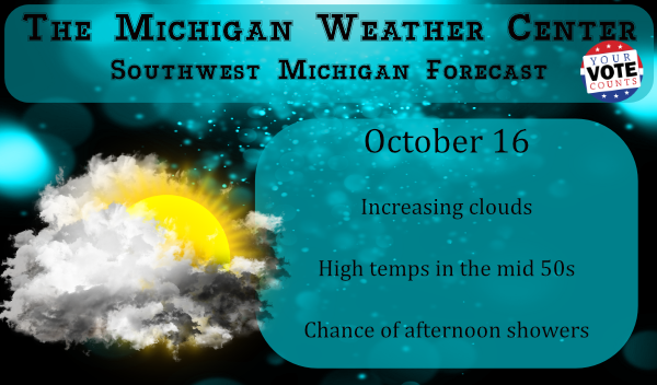
Just as the title states we are in the throes of an unsettled weather pattern. Unsettled means a condition in the atmosphere conducive to precipitation. This term typically is associated with the passage of surface or upper-level low-pressure systems, fronts, or other phenomena when precipitation expected. This week we expect wide fluctuations in temperature with […]
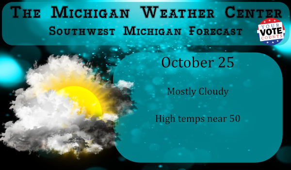
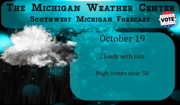
We have a relatively warm 54° at 6 am this morning with some showers around the area. Our high temps will probably be this morning as temps will begin falling into the mid-40s later today. We have a chance of snow showers tomorrow night with no expectation of accumulations. There is a shot of warmer […]
We have clear skies and 29° at 5:30 this morning our coldest morning since April 14th. According to the NWS and other sources, a hard freeze is when temps are 28° or below for at least four hours. As I write this our temp has been below 30° since midnight so this doesn’t constitute a […]