Looking at the NHC outlook there is nothing of note in the tropics, in the Atlantic, Eastern, or Central Pacific however I suspect things will start ramping up within the next month or so. There is a system over the southern U.S. which may drift out into the Atlantic and form a tropical depression early next week.
On a side note, I think I finally got the woodchuck living under my shed to vacate. I sliced up a couple of bars of Dial soap and threw them under the shed, they apparently don’t like the smell so they will get as far away from it as they can. The mosquito problem is under control, I used a spray that hooks up to the garden hose and doused the whole yard, and went twenty feet into the woods. Moles seem to be a big problem this year, I have used grub killer and Scotts lawn fertilizer (they don’t like the smell of the fertilizer), this just pushes them to the boundaries of untreated areas where they are flourishing so its time to put out the mole traps.
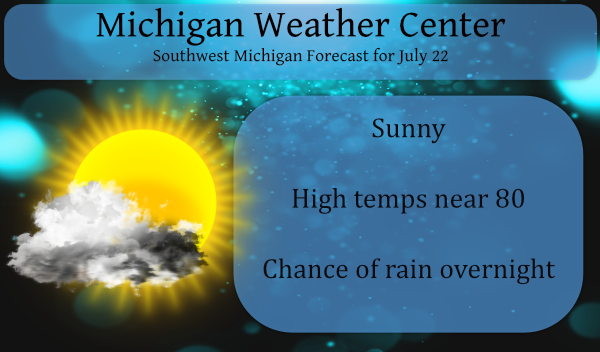
We have a chance of showers late tonight though it is only in the 20 to 30 percentile range. The heat is building to our west which we will tap into this weekend. There are air quality alerts in most of Indiana and Minnesota. Humidity will begin to ramp up to start the sweat machine going. Our best chance of rain will come on Saturday with some storms possible.
Forecast Discussion
- Risk for strong/severe storms Saturday

The models continue to show strengthening mid to upper level winds
across the Upper Plains and Great Lakes region Saturday. This is
in response to the stronger trough that tracks eastward through
the Canadian Prairies and Ontario. Low level southwesterly flow
maintains a very moist airmass across MI on Saturday. PWAT values
are shown to be up around 2 inches. Diurnal heating should result
in a very unstable airmass by afternoon...with a boundary draped
across the CWA. At the same time the 0 to 6 km bulk shear values
become supportive of organized convection. The upper level
divergence and low level convergence and mid level height falls
are shown to be somewhat limited. Will need to monitor the pattern
closely as the convection between now and then could alter the
setup.

- One round of storms possible late tonight into Friday am

Upper level divergence and low level convergence try to come
together late tonight across southwest parts of the CWA to produce
some showers and storms. Weak elevated instability will be around
and PWAT values are shown to climb to over 1.50 inches. Forecast
soundings are shown to be saturated through a fairly deep layer.
Any convection should be warm topped...so rainfall may become
efficient if it can get going. Some of the high res models are
showing storm developing mainly after midnight. We will maintain
higher pops for that region tonight.

- Another round of storms possible Tuesday into Wednesday

The 0 to 6 km bulk deep layer shear remains elevated during this
time. Meanwhile decent mid level height falls occur as a trough
dips down into the Great Lakes Region with an unstable airmass in
place. This could support another round of storms some of which
could end up on the strong side.
Here on the farm we still use dogs to keep the varmint population down. Getting dry. Less than 1/2 inch July.
What beautiful weather! Get ready for the next heat wave!
Next heat wave ??? How about the possibility of the warmest temperature in over a month coming is more like it!! Like I have been saying this Summer has been a cool breeze sofar and a quiet mookiee…. DDDDDD…INDY
MV thanks for the tip on how to get rid of woodchucks. My daughter has them under her deck.