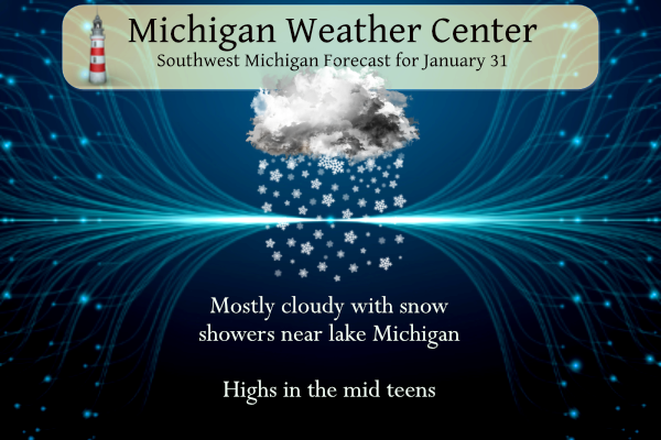
We have our coldest air of the new year thus far, our overnight low in Otsego is 8.4°. Yesterday we managed to get to 24° with around an inch of snowfall. We will have another cold day with temperatures in the mid-teens and snow will be confined mainly west of 131 with chances of seeing […]
Michigan is back to its status as a winter wonderland. Temperatures will remain well below freezing (32°) this week so our snow cover won’t be going anywhere soon. At this point, it doesn’t appear to be any major snow storms on the horizon over the next several days, just a few light snow showers with […]
We had 2.1 inches of snow yesterday and overnight, bringing our total for Otsego to 10.7 inches for the month and 55.1 inches since November 1st (in Otsego). Snowfall will end this morning and the warnings and advisories will expire at 10 am. The highest snowfall totals are around the I96 corridor where 4 to […]
In just 4 more days we will flip the calendar over to February. In doing my research on February I came across the coldest of cold waves. February 1875 must have been the coldest month on record here in Michigan. There were only two locations that have records that go back to 1875 Lansing and […]
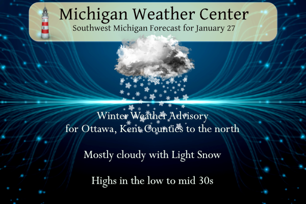
We had a nice band of lake effect set up across southern Allegan County yesterday evening which dropped two or three more inches of snow. I will get out the snowfall measurements later today. With a southwest wind today most of the lake effect will fall from Ottawa and Kent Counties to the north. Grand […]
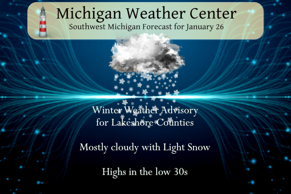
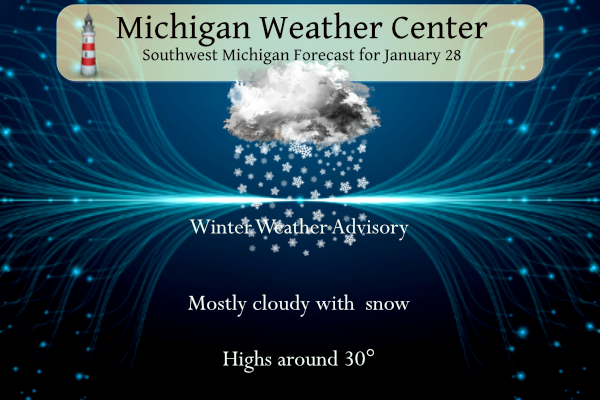
Temperatures will range from lower to mid-30s today. Snow showers, a few of which could be locally heavy, will affect locations mainly between the Lake Michigan shore and US-131. A couple of brief bursts of snow could also make their way toward US-127 late in the day. We have a Winter Weather Advisory for the […]
We have a winter weather advisory until 10 pm for three to six inches of snow. Snow will spread from south to north this morning as low-pressure moves across IN/OH. Accumulations of 3-6 inches are expected along the I-94 corridor…highest near Jackson. Two to three inches are expected along I-96 including Grand Rapids with lesser […]
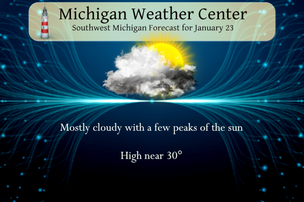
The theme and title of this post seem consistent with most of the posts for this month. We had just 12% of possible sunshine in December and we’re at a dismal 11.3% sun for January. Some area forecasters are once again trying to perk us up by seeing perhaps a few peaks of the sun […]
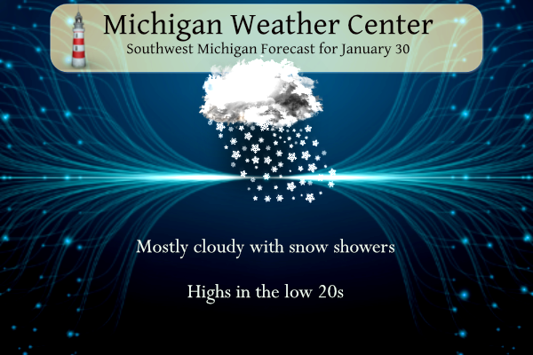
We have another inch to add to our winter’s snowfall. We have had 45.4 inches since the 1st of November and our first snowfall for January. A few leftover flurries or freezing drizzle will end this morning, so watch out for some slick bridges and overpasses early on. Otherwise, dry conditions are expected today with […]
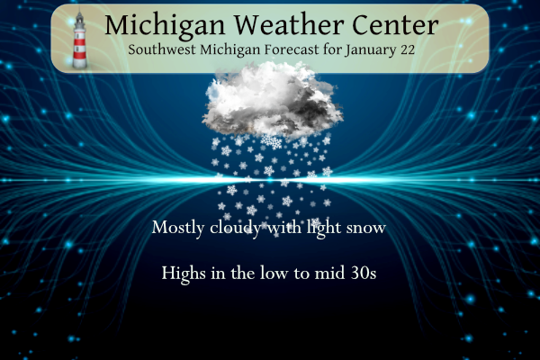
Light snow is forecast across parts of Lower Michigan from Sunday morning into the afternoon. Minor accumulation is expected (especially for January standards), and any travel-related impacts are likely to be limited. Most areas will see less than an inch of the white stuff. A more significant system may move in for Wednesday. A transition […]