Recently there has been some discussion as to why the mean at Grand Rapids has been cooler than several other locations in Southern Michigan recently. Here is the letter that I wrote. Dear Sir or Madam, I post on a local weather blog https://michigan-weather-center.org/ And on out blog there have been some who have […]

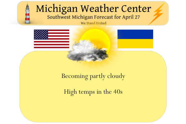
We reached 52° yesterday after a morning low of 33°. A slow warm-up is expected through early next week with high temperatures reaching the 60s. Some rain is possible over the weekend, especially Saturday night. With dry air in place and breezy conditions today our fire risk increases especially in places like woodlots and forests […]

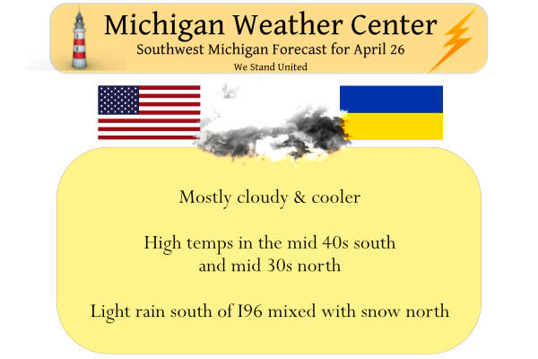
Yesterday we managed to creep up to 47° after a morning low of 29°. Today we will add another 10° or so to our temperatures with the promise of more sun. We should remain mainly dry for today unless you live in the SW corner of the state where there are currently some light showers […]
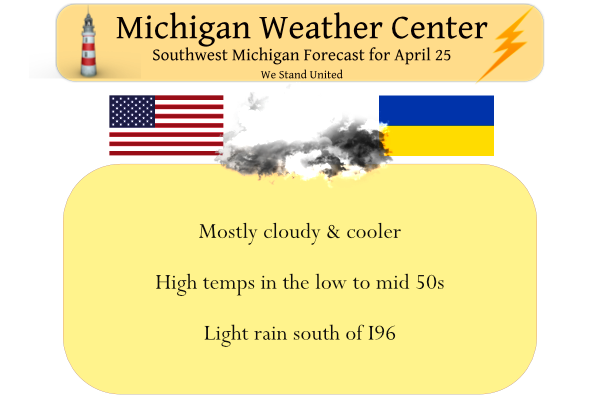
Yesterday we had a cold drizzle in the morning and temps struggled to get to 43° after a morning low of 32.5°. Made me wonder if we were in Great Britain rather than Michigan. Today will not be significantly warmer than yesterday, highs will mostly be in the lower to mid-40s. Clouds should slowly break […]
Yesterday we had a high temp of 62° and a low of° 43°. We have had only 15 days where no sort of precipitation fell here in Otsego this month. Total rainfall for the month is 5.75 inches and 8.19 inches of rain and melted snow for the season totaling 11.98 inches for the year. […]
Yesterday we had a high of 77.5° and a low of 63°. Our rainfall for yesterday was .36 of an inch which totals 5.75 inches for the month. Today will be much cooler with highs around 50°. A strong cold front came through around midnight and brought in much cooler air that will remain with […]
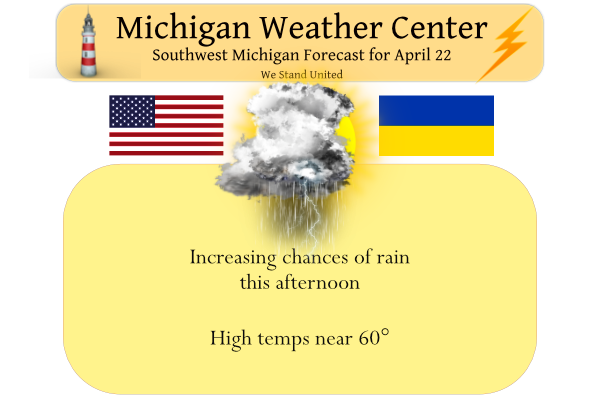
We have a warm 68° at 5:30 this morning. Yesterday’s high was 84° after a low of 47°. Today we will see another warm day before we transition back to a cooler weather pattern. Clouds will be on the increase during the mid to late morning. Thunderstorms are expected to cross the area this afternoon […]
With it now being late April, it is now time to look at some last/first dates. The readings I will look at are the last hard freeze using 28° the last 32° low and the last 37° low (that is the upper limit for frost) and then the 1st 70 high and 1st 75 […]
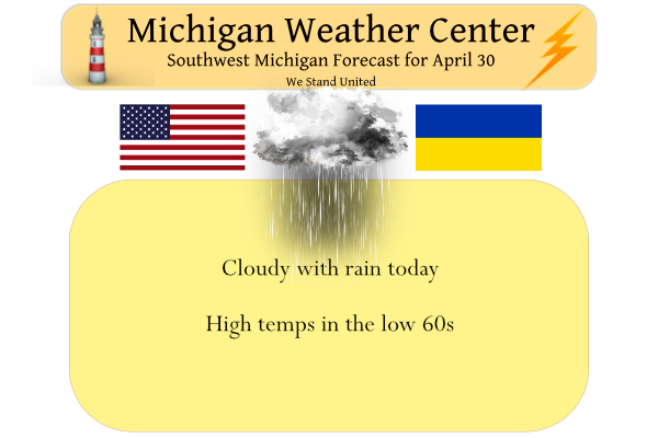
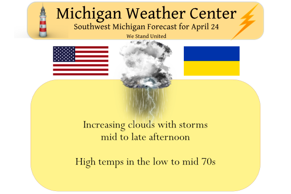
Yesterday turned out to be a great spring day for outdoor activities with a lot of sun. We had a high temp of 64° after a morning low of 42°. The clouds will thicken up this morning with showers moving in, especially this afternoon. There could even be a few thunderstorms around by the end […]

We still have some scattered showers around SW Michigan this morning with a temp of 51° at 5:30 am. Our high temp yesterday was 51° and the low was 26°. We have had .35 of an inch of rain thus far which brings us to 4.10 inches for the month and 6.54 inches of rain […]